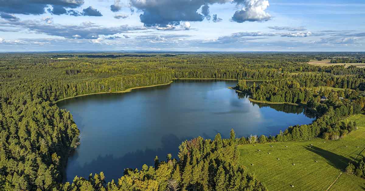

Each spring, Oregon’s Lost Lake seemingly vanishes magically, at least to those unfamiliar with this geographical phenomenon. The stunning alpine lake only exists due to the rain and melting snow filling the basin every winter. But as the seasons change, the water drains away and a lush meadow takes its place for the summer months.
Locals familiar with this astonishing phenomenon expect this show each year, but for those unfamiliar, the transformation is nothing short of spectacular. However, as magical as this phenomenon is, there is a reasonable, geological explanation for this transformation.
Lost Lake’s Secret Hole
The Lake’s annual vanishing act is due to its mysterious drain hole. Along one shore, a circular hole about 6 feet wide swallows the lake’s water, sending streams below the surface. Some onlookers compare the phenomenon to a giant bathtub draining, drawing crowds every spring. This mysterious and odd lake is located in the heart of the Cascade Mountains. Lost Lake attracts photographers and scientists, eager to document and study its annual transformation.
Lava Tubes
The logistics of the Lost Lake’s disappearing waters lie in its 6-foot-wide sinkhole. This hole is actually an ancient lava tube. The tunnel was formed more than 12,000 years ago. Lava flowed from volcanic eruptions in Oregon’s Cascade Range. When hot lava cooled and hardened, it left behind cave-like passages throughout the region. Lost Lake’s famous hole is a collapsed section of one of these ancient tubes. These lava tubes shape much of Central Oregon’s underground landscape. Many caves in the surrounding region share this volcanic origin.
How the Annual Draining Occurs
Lost Lake is fed by mountain streams, which run high during heavy winter rains and snowmelt. While it is most likely constantly draining, the lake reaches its meadowed state when the rate of drainage exceeds natural precipitation. Streams and creeks peak in the rainy months, and the lake swells to its maximum size. When dry weather arrives in spring, the inflow lessens, yet water keeps draining through the lava tube. By summer, nearly all of the water is gone, and the former lake becomes a green, flower-filled meadow. Seasonal changes in temperature and precipitation directly drive the cycle. Even with no rain, the draining continues until the lakebed clears.
Where Does the Water Go?
There’s been some speculation about where the water runs to. Jude McHugh, a spokeswoman for the Willamette National Forest, explains it probably seeps through the porous volcanic rock. The water then likely feeds into an underground aquifer system. Some of this water emerges in springs miles away, such as those that sustain Clear Lake and the McKenzie River.
Attempts to Plug the Hole
Curious and sometimes frustrated by the lake’s yearly disappearance, some people have tried plugging the hole with debris or branches. These efforts have all failed. The ground underneath the hole is too porous and riddled with channels for any homemade plug to work. In fact, forest officials warn that attempting to block the hole could cause flood damage or disrupt the natural ecosystems of the region.
Environmental and Ecological Impact
When Lost Lake empties, it allows for nutrient-rich soil to be uncovered, supporting diverse meadow ecosystems. The exposed lakebed transforms into a vibrant meadow each summer. Wildflowers, grasses, and insects thrive in this nutrient-rich seasonal environment. Birds nest in the meadow during dry months. Frogs and aquatic insects return in winter.
Local wildlife adjusts to the changing landscape, taking advantage of habitats created by the vanishing water. As the seasons begin to change, the meadow becomes nutrients for the lake, allowing other diverse life to thrive in watery conditions. The changing environment offers crucial habitats for different species during the lake’s wet and dry phases.
Lost Lake in the Broader Geological Context
While this may seem like a unique spectacle, other lakes a few miles from Lost Lake experience similar phenomena. Lakes in the region, such as Fish Lake, undergo similar disappearing and reappearing acts due to underlying volcanic features. Around the world, karst landscapes and volcanic terrains spawn vanishing rivers and lakes. Studying places like Lost Lake helps geologists understand Earth’s hydrology and landscape evolution shaped by ancient volcanoes.
Conclusion
Lost Lake is located near the small town of Sisters and the Hoodoo Ski Resort. Each year it captivates visitors in both spring and winter seasons. In the winter season, Lost Lake transforms into a 79-acre alpine river. From spring through to summer, the lake recedes and a meadow blossoms by summer.
The water most likely runs off and seeps into porous volcanic rock and feeds aquifers. Some resurfaces miles away at springs and rivers. The cycle supports a diverse ecosystem, creating a haven for seasonal plants and wildlife. Nearby Fish Lake shows similar geology at work, with seasonal drainage occurring due to underlying lava tubes.
Disclaimer: This article was created with AI assistance and edited by a human for accuracy and clarity.
Read More: After Vanishing 130 Years Ago, This Giant Lake Has Reappeared