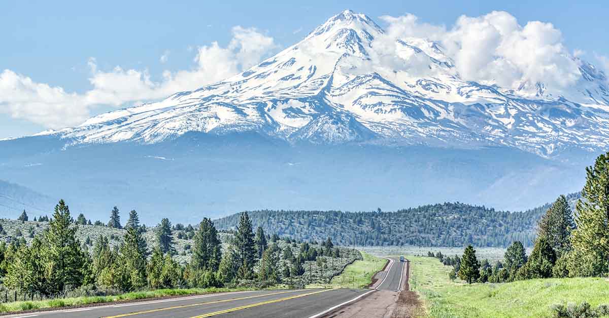

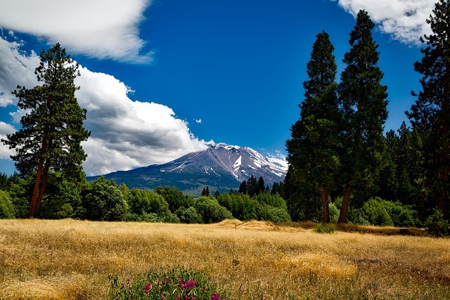
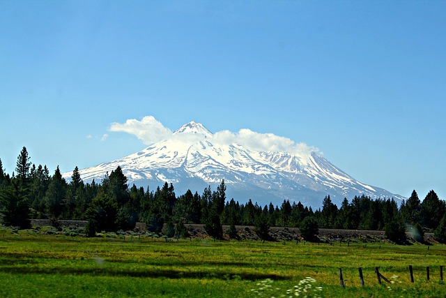
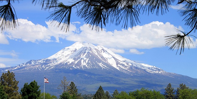
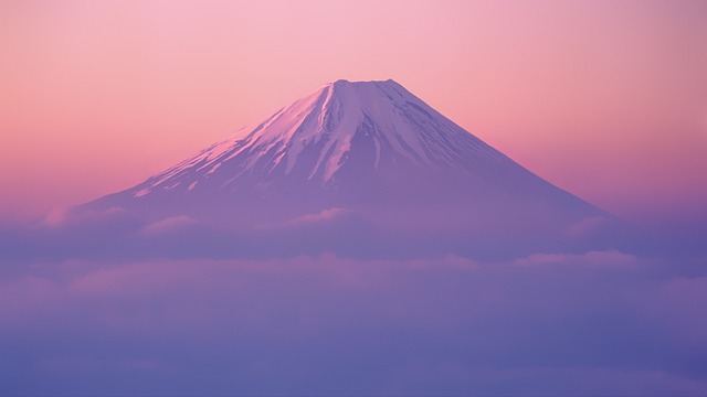
The rolling mounds of Shasta Valley in Northern California have intrigued geologists for more than 100 years. For anyone driving past on Interstate 5, the strange hills could easily be mistaken for naturally occurring terrain or volcanic cones. Yet, researchers eventually figured out that the unusual landscape was the result of one of the biggest landslides ever discovered. The sheer strength of the landslide carved and reshaped the area to the northwest of Mount Shasta. Let’s find out more about the impact of this ancient avalanche and how it shaped Shasta Valley.
The Devastating Effect Of the Shasta Valley Landslide
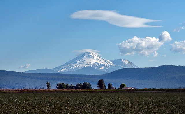
Located northwest of Mount Shasta, Shasta Valley is today the location of several towns such as Grenada, Montague, Yreka, and Weed. One of the residents, Phil Dawson, is now the scientist-in-charge of the U.S. Geological Survey’s California Volcano Observatory in Menlo Park. According to Dawson, “That debris flow was recognized to be unusual from the very first time any geologist came across Northern California all the way back to the 1800s, it’s just an unusual landform.”
Theories of their Origin
Scientists have come up with various theories over the decades as to what caused these hills. Some suggested that they were perhaps volcanic vents. However, the rocks found all around Shasta Valley don’t match their theory. When they analyzed the rocks’ composition, they found that they were similar to the rocks on Mount Shasta. These strange hills are referred to as “hummocks” in geology, and they are created due to the massive landslide that results from the collapse of a mountain.
The Mount Helens Revelation
In 1980, researchers made a huge breakthrough after Mount St Helens erupted. A section of the mountain collapsed during the eruption, resulting in a debris landslide that moved in a northward direction. What was left following the landslide were the same type of hummocks that we find at Mount Shasta. Driving back to Shasta Valley after studying the eruption at Mount St Helens, a geologist noticed the similarity and realized that Mount Shasta must have collapsed at some point.
Why Did Mount Shasta Collapse?
So, now that geologists know that Mount Shasta collapsed, are they any closer to understanding why? Well, the quick answer is no. However, Dawson suggests that a combination of snow, glaciers, and heat could have potentially weakened the structure of the mountain over time. Researchers are also unsure how the debris from the landslide ended up more than 30 miles from the mountain. Some geologists have speculated that the ice and snow covering the ground would have acted as a natural lubricant, allowing the debris to reach further.
Large Scale Disaster
The landslide produced approximately 45 cubic kilometers of debris. That’s a considerable amount of displaced rocks and soil. In fact, it’s among the biggest landslides that we know of globally. The indigenous tribes of the area have their own oral histories, which account for the unique shaping of the land. In one myth, an ancient chief who was too weak to travel to the Pacific Ocean requested that his tribe construct a mountain that was high enough to see the ocean from. When the chief exclaimed that he could see the ocean, the tribesmen dropped their baskets of debris, creating the hills at the base of Mount Shasta.
More Traditional Explanations
According to Klamath folklore, the hummocks of Shasta Valley and the formation of Crater Lake were the result of a furious struggle between two spirits. Llao, a spirit who previously resided on Mount Mazama, fell in love with a chief’s daughter and requested her hand in marriage. When the chief rejected his request, the angered spirit sent earthquakes from his mountain. In response, the chief appealed to Skell, the spirit of the higher world who lives on Mount Shasta. A war broke out between the two, with the spirits hurling large rocks at one another. Skell, the better shot, struck Llao’s peak several times until it fell, making Crater Lake. The hummocks were created by the ruins of Llao’s mountain that were scattered across Shasta Valley.
Modern Detection Efforts
In recent years, researchers have used cutting-edge equipment to analyze and monitor the remains of the Mount Shasta landslide. Satellite images, LiDAR, and ground-penetrating radar have all helped researchers map the hummocks and flow pathways with amazing detail. These technologies serve to reconstruct the movement of the debris and determine the landslide’s speed and force. Monitoring activities continue today to try to determine whether parts of Mount Shasta remain unstable and whether further collapses are still possible.
The Bottom Line
The quiet hills of Shasta Valley hide a violent geological history beneath their surface. The collapse of Mount Shasta resulted in strange landscape formations that are still debated today. Once assumed to be volcanic cones, these strange hills are now believed to have resulted from the collapse, making their way 30 miles from their source. While the oral traditions of the indigenous locals offer a glimpse into the past, perhaps emerging technologies will provide a better understanding of the present and reveal whether it will collapse again in the future.
Read More: Stunning Before-And-After Images Show Swiss Village Buried by Glacier