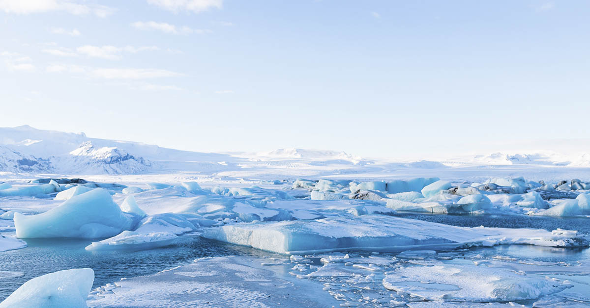

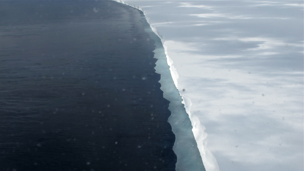
Imagine a world where rivers flowed across lush landscapes, where early mammals roamed beneath warm skies, and where life thrived in places we now consider Earth’s most desolate. Now imagine that world perfectly preserved, frozen for 34 million years beneath two miles of Antarctic ice. Scientists have just discovered exactly that. A prehistoric landscape larger than Belgium, complete with vast river systems and valleys that haven’t seen sunlight since before human ancestors walked the Earth. It’s the most significant geological find beneath the southern continent’s ice sheet, rewriting our understanding of how quickly our planet can flip between radically different climate states.
Scientists Found an Ancient Arctic Landscape
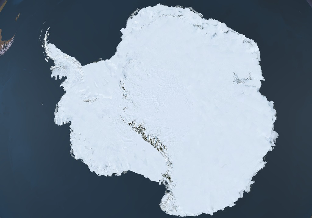
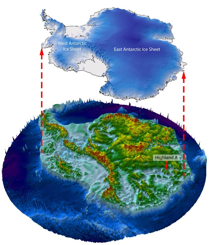
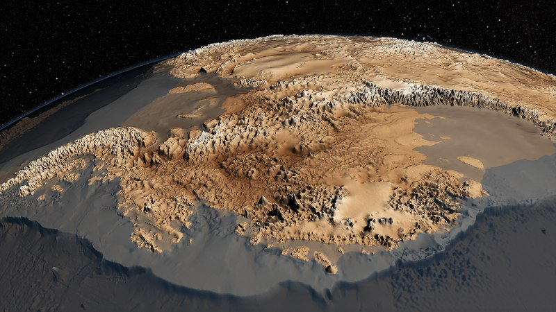
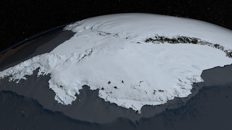
Twelve thousand square miles of preserved landscape lie beneath East Antarctica’s Aurora-Schmidt basins. It’s one of the largest ancient river systems ever found under ice. The discovery consists of three massive highland blocks separated by deep valleys. Each contains detailed networks of ridges and channels. Stewart Jamieson, the Durham University glaciologist leading the research, captures the magnitude of what they found. “It is an undiscovered landscape. No one’s laid eyes on it.” What makes this even more extraordinary is that his team wasn’t looking for it. They stumbled across this geological treasure while conducting routine surveys.
Prehistoric Rivers Carved This Landscape During Gondwana’s Breakup
Long before Antarctica became a frozen continent, rivers carved networks across its surface during a time when early mammals were inheriting the Earth from dinosaurs. Between 14 and 34 million years ago, the planet transformed dramatically as the supercontinent Gondwana tore itself apart. The powerful forces pulling Australia away from the southern continent left behind fault lines. These became natural pathways for flowing water. Rivers followed these geological weak spots, cutting deeper and deeper into the bedrock over millions of years. When ice eventually arrived, it simply followed the paths that water had already carved, turning riverbeds into the foundation for glacial flow.
Read More: Antarctica’s Ozone Layer Shows Strong Signs of Recovery, Scientists Say
Advanced Technology Exposed the Ancient Arctic Landscape
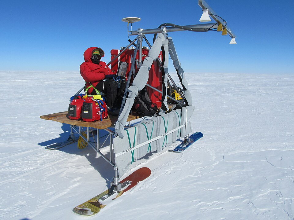
Seeing through miles of ice requires detective work on a geological scale. Satellite images provided the first breakthrough of this polar find, detecting subtle surface bumps that hinted at something far below. These tiny echoes led scientists to deploy aircraft equipped with radio-echo-sounding technology. The aircraft sent radar pulses deep into the ice to confirm what satellites had suggested. Computer models then pieced together the data. They showed how erosion had carved and shaped the buried terrain. What emerged was a complete picture of a world concealed beneath the southern continent for millions of years through advanced technology.
Three Scientific Tests Proved This Was Truly Ancient Terrain
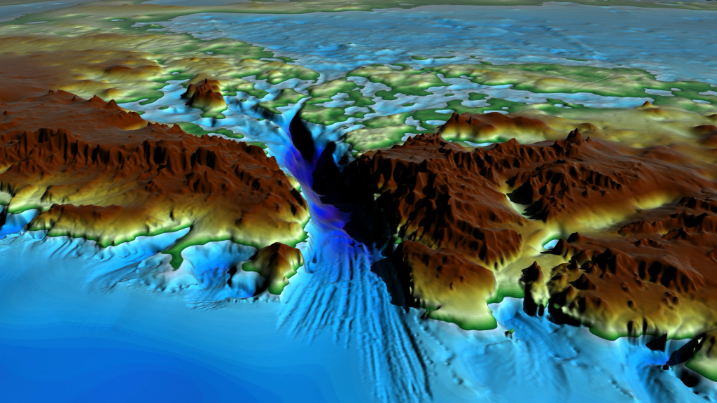
Finding an area this old, under miles of ice sounds too good to be true, so scientists had to prove their Antarctic discovery was real. They used a clever geological detective trick. When rivers carve deep valleys over millions of years, the surrounding land rises because there’s less weight pressing down on it. The team measured this effect and found that the highlands had bounced upward by 1,600 feet. This identical rebound pattern across all three blocks proved they were once part of the same river system before ice covered everything.
Nature’s Perfect Preservation System Kept Everything Frozen
What makes this preservation so unusual? Most get crushed by grinding ice over millions of years, but this one escaped that fate entirely. “In other areas, we’d expect there to be liquid water right between the ice and the bed, which helps grind stuff away,” Jamieson explains. Without melting at the bottom, there’s no liquid water. This means no erosion of the bedrock. The terrain became freeze-dried for millions of years. Scientists call this cold-based ice, and it acts like nature’s perfect preservation system.
What This Discovery Means for Understanding Antarctica’s Mysteries
“The land underneath the East Antarctic Ice Sheet is less well known than the surface of Mars,” Jamieson explains. The ancient arctic landscape sits in an area particularly sensitive to climate change, near the Denman and Totten glaciers, which drain massive underground basins. Understanding these hidden terrains matters because they control how ice flows and responds to warming. Buried landscapes like this one become essential for predicting the rise of the sea level in the future.
Ice Sheets Can Flip Between States in Geological Instants
The area’s survival shows something crucial about Antarctica’s glacial history. Ice sheets can change rapidly. Scientists think the transition from local valley glaciers to continent-wide ice happened very quickly in geological terms, within a few million years. This rapid growth created cold-based ice conditions that immediately stopped erosion like flipping a preservation switch. Earlier modeling shows similar quick changes happened in other polar regions, suggesting ice sheets work in near-on-off modes rather than gradual transitions.
Critical Warning Signs for Future Sea Level Rise
The stakes are enormous. Global sea levels would rise 196 feet if the East Antarctic Ice Sheet completely melted. That’s enough water to drown every coastal city on the planet. Current CO₂ levels are climbing toward conditions from 14-34 million years ago when temperatures were 5-13°F hotter. Continued fossil fuel burning could push CO₂ above 500 parts per million by 2100. This would bring back the conditions when this terrain was actively forming under flowing rivers.
More Ancient Worlds Await Discovery Beneath the Ice
Hidden mountain ranges, canyon systems, and underground lakes lie beneath arctic ice, and this latest discovery adds to that growing list of secret ancient landscapes. The research team thinks more ancient terrains are waiting to be found, preserved under the East Antarctic Ice Sheet like geological time capsules. They believe this region could produce the oldest ice cores ever recovered, holding 34-million-year-old climate records. Each find shows how ice sheets respond to climate shifts, providing crucial insights into future climate changes.
Read More: Scientists Report Rare Ice Growth in Antarctica After Years of Steady Decline