
A typically quiet volcano in southeastern Iran has risen by about 3.5 inches, and it has not settled back down. This sudden change occurred between July 2023 and May 2024 at the Taftan volcano, a large stratovolcano near the Pakistan border. While this may not such like much of a change, it is significant because continuous rising usually means pressure is building beneath the surface. A new peer-reviewed paper in Geophysical Research Letters has gone into detail about this growth, explaining how satellites detected it with accuracy to the centimetre. While the paper’s authors have not observed any signs of an imminent eruption, they warn that the mountain is restless enough to deserve closer monitoring. Yet, these are precautionary measures and not meant to alarm the public. It is simply about being prepared.
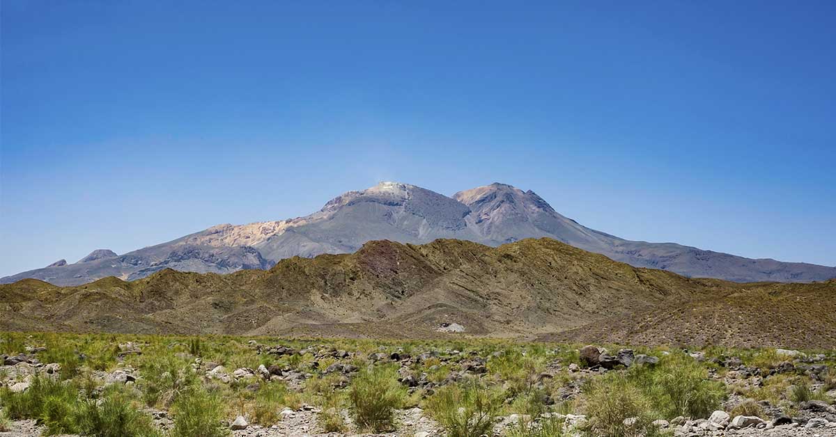
The Location of Taftan Volcano
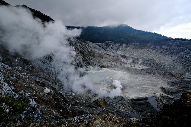
Taftan is located in Iran’s far southeast, within the Makran arc, where one tectonic plate dives beneath another. Subduction zones feed many of Earth’s most active volcanoes, though individual peaks can remain dormant for very long stretches of time. The Smithsonian’s Global Volcanism Program describes Taftan as an eroded andesitic stratovolcano with two prominent summits and vigorous sulfur-coated fumaroles near the top. That mix of old lava flows and ongoing gas vents tells scientists that heat still moves underground, even if confirmed eruptions are not documented in recent millennia.
While the volcano is located near sparsely populated areas, the communities still live within range of gas and ash hazards if the current activity were to escalate further. However, its geographic remoteness also means access to instruments is scarce, which makes satellite methods especially valuable in this case. The history of the volcano can be observed in the lava plateaus, pyroclastic deposits, and altered rocks that ring the high cones. Those rocks reveal times in the past when magma rose and the pressure shifted across fractures. Therefore, it’s no surprise that when the summit rises by several inches in less than a year, geologists start to pay more attention. They compare new changes on the surface with older deposits and consider what kind of internal system is responsible.
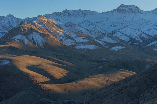
Results of the New Study
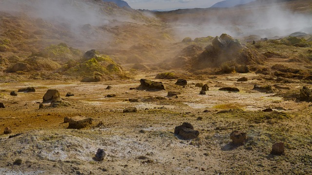
Image Credit: Pixabay
The researchers analyzed repeated satellite radar images and then constructed a time series of ground motion. What they discovered was a localized uplift of around nine centimeters centered near the southeastern summit. According to the study’s authors, this rise started around July 2023, peaked in rate during the following months, and then ultimately slowed by May 2024 without returning to baseline. They also noted that rainfall patterns and local earthquakes do not match the timing of the rise, so these typical confounders are unlikely drivers for the change. Instead, they believe it is likely due to pressure changes within the volcano’s shallow plumbing. The study’s lead authors present this as the first unambiguous signal of unrest at Taftan volcano in the satellite era.
They also noted stronger sulfur odors and visible gas plumes from many kilometers away during the same period. These changes fit an increase in fumarolic activity. Yet the team repeatedly noted that uplift alone does not predict an immediate eruption. It instead marks a change in subsurface conditions that deserves closer attention. The team’s findings appeared in the Geophysical Research Letters and was reinforced by an abstract that was presented at the European Geosciences Union meeting. The abstract outlines the same time window and the same common-mode filtering approach used to clean the radar data.
How Do Satellites Measure Millimeters from Space?

Credit Image: Pixabay
The method is called Interferometric Synthetic Aperture Radar, or InSAR. Satellites send radar pulses toward Earth, then compare the returning wave phase across repeated passes. When the ground moves slightly between passes, phase differences reveal that motion with surprising precision. However, the atmosphere can slow radar waves unevenly, which creates false signals that mimic uplift or subsidence. Therefore, specialists rely on corrections that reduce those delays using models, GPS data, stacking, and filtering approaches. The Taftan volcano study highlights a “common-mode filtering” method that extracts shared atmospheric patterns from a long image stack.
It then removes them before interpreting any deformation. This step is important because the signal at Taftan is only several centimeters. This is well within the range of possible atmospheric noise if left untreated. InSAR can reach centimeter to millimeter precision over broad areas. Peer-reviewed papers have further described tropospheric corrections and error sources, including orbital and topography-dependent terms that can bias results. Yet, when multiple passes, good filtering, and independent checks align, scientists gain confidence that a real deformation has occurred. That is the case here, so the 3.5-inch uplift should be treated as a genuine change on the ground.
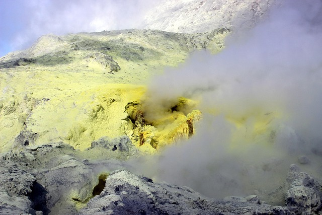
What Could Be Pushing the Summit Up?
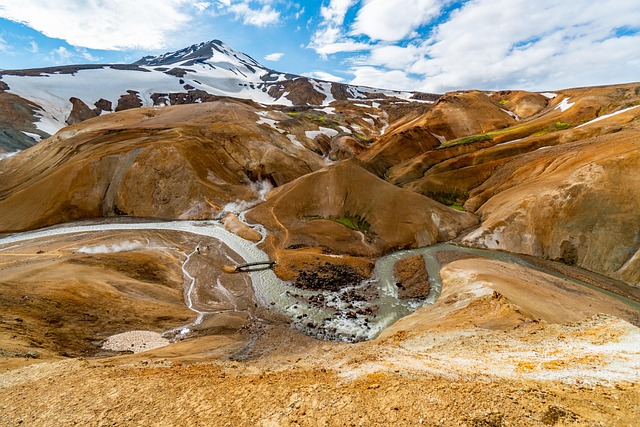
Image Credit: Pixabay
Uplift requires pressure at depth, but the source can vary. The study’s suggested options are a pressurized hydrothermal system or a small, undetected magmatic input that increased gas release. Hydrothermal systems move hot water and steam through fractured rocks that sit above, or alongside, deeper magma. If fluid boils or becomes less permeable, then pressure builds and the surface can rise. Magma can also exsolve gases as it stalls or cools, which increases pore pressure in the overlying rocks. The authors looked for triggers such as heavy rainfall or local earthquakes and did not find matches in timing.
That negative evidence suggests an internal volcanic driver rather than a surface or tectonic one. However, it does not settle the hydrothermal versus magmatic debate entirely. Gas composition would help, because more magmatic sulfur dioxide and deeper-sourced species can hint at fresh magma involvement. Therefore, the study’s authors propose targeted gas monitoring alongside ongoing satellite analysis. They argue that a pressurized hydrothermal cap is plausible, since fumarolic activity is already well known at the summit. Yet, a small pulse of magma at depth cannot be excluded with current data.
Surface Clues
The observations of the locals also fit the satellite record. In fact, people living dozens of kilometers from the Taftan volcano reported sulfurous odors more often during the uplift period. Reports by journalists described visible gas releases and stronger fumaroles after precipitation events, which often happen when water percolates down and flashes to steam. Scientists quoted in coverage emphasize that the volcano was long labeled dormant or even extinct by some.
However, the new measurements are a good argument for a rethink on the subject. Yet they caution against treating every whiff of sulfur as a red flag. Gas varies with wind, temperature, fractures, and rain, so trends matter more than what happens on any single day. Detailed sampling of sulfur dioxide and other species could distinguish shallow boiling from deeper degassing. Therefore, reliable gas sensors and simple field protocols would add real value quickly. When combined with InSAR time series, that data would indicate whether pressure is easing or still climbing.
What Is the Real Risk?
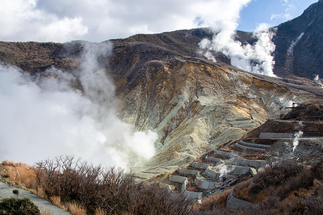
Image Credit: Pixabay
People often ask whether uplift equals eruption. The honest answer is no, but it does increase the odds of change. Volcanoes can swell and relax for months or years without crossing the line into eruption. However, uplift means energy and mass are moving in the system, which can produce hazards even without new lava. Pressurized hydrothermal caps sometimes drive small steam explosions that toss rocks and vent hot gases near the summit. Gas exposure can irritate lungs and eyes, yet impacts usually remain close to the vents.
A deeper magmatic intrusion would raise longer-term concerns, but the current data do not show clear signs of rising magma. Therefore, the likely near-term scenario is continued degassing and slow changes in surface cracks or hot ground. However, authorities should still prepare for high-impact outcomes because explosive behavior can escalate quickly in rare cases. In moments like these, authorities need to relay the information as clearly as possible, as many times, all the nuances of a situation can be drowned out by worrying headlines. The authors also called for a thorough update to regional risk assessments, which still do not reflect that Taftan is a living system.
How to Close the Monitoring Gap
Right now, Taftan lacks a modern ground network that could capture small quakes and measure ongoing deformation. Satellites will continue to deliver broad coverage, but ground truth turns these patterns into more confident interpretations. The first step would be a few permanent GNSS stations around the summit to record subtle motion in real time. A basic seismic array would catch tiny swarms that often accompany shifting fluids or opening fractures. Portable gas sensors could sample plumes during fair weather and during known post-rain pulses, building a record of composition through time.
UNAVCO and similar groups publish training materials, field guides, and processing tools that help teams set up these systems quickly and cheaply. However, funding and coordination are still significant, since instruments need maintenance and data need analysis. Therefore, a formal partnership between universities and Iranian agencies would be ideal, with published thresholds for changing alert levels. The technical literature on InSAR corrections, tropospheric models, and error sources is already rich, which means local teams can apply proven methods rather than invent new ones. With a year of good ground data, analysts could tell whether uplift is stabilizing, reversing, or creeping higher. That would create smart contingency planning.
Filtering Noise from Signal
Image Credit: Pixabay
Centimeter-scale deformation can be overshadowed by atmospheric noise if analysts are not careful. The Taftan paper leans on filtering that removes spatially coherent delays from long stacks of radar scenes. That step helps to reduce tropospheric clutter and clarifies the actual ground signal. Other well regarded approaches include generic atmospheric correction models and machine learning schemes that estimate topography-dependent delays. Different tools suit different terrains and data volumes, but all aim to prevent false positives. However, even clean time series need cross-checks. Analysts compare ascending and descending satellite tracks and test nearby reference areas.
They also validate rates against independent measurements where possible. In this case, the uplift’s timing and spatial focus, along with consistent processing, strengthen the interpretation. Therefore, the reported 3.5 inches should be considered robust within the known uncertainties. The point is not that one technique solves everything. It is that careful, transparent processing allows other groups to reproduce the result and extend it with new data. That level of transparency is important when agencies may base advisories or budgets on the findings. It also helps the public trust that the signal is real and not simply an artifact of a hot day or a passing storm.
Read More: ‘Zombie Volcano’ Awakens After 250,000 Years
Taftan Volcano in a Global Context
Many volcanoes regarded as dormant have surprised scientists by showing new signs of life during the satellite era. InSAR has revealed small intrusions and slow caldera motion at sites that lacked dense instruments. However, those discoveries rarely translate into immediate eruptions. Yet they often lead to better baseline knowledge and smarter thresholds for genuine alarms. The Global Volcanism Program compiles histories and recent reports that help put each mountain in context. Taftan’s profile highlights persistent fumaroles and complex edifice geometry, which indicate an active hydrothermal system.
Therefore, the uplift is not an outlier in a dead landscape, but a new chapter in a long story of heat and gas moving through the crust. The key lesson from global practice is integration. Observatories combine deformation, seismicity, gas, and visual observations, then reassess risk as patterns change. That integrated approach turns one study into an ongoing surveillance framework. It also reduces overreaction to single parameters that may swing with seasons or storms. If the Makran region adopts that model, communities will gain clearer guidance and fewer mixed messages. The science can then feed directly into practical planning rather than short-lived headlines.
The Bottom Line
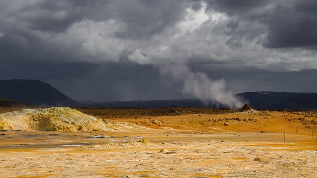
Image Credit: Pixabay
Taftan’s summit rose by roughly 3.5 inches between July 2023 and May 2024, and the ground has not settled. The best explanation is pressure from a hydrothermal system that changed state, possibly assisted by a modest magmatic pulse at depth. The signal was detected with established InSAR methods and strengthened by careful filtering that removed common atmospheric noise. There are no signs of an imminent eruption, yet there is clear evidence of unrest that deserves closer watch.
Therefore, the rational path is actually rather straightforward. Keep tracking deformation by satellite, deploy a basic ground network, collect regular gas samples, and publish plain language updates. Ultimately, communities benefit the most when these small changes are explained clearly rather than hidden or hyped. Dormant does not mean inert, and quiet does not mean harmless. Yet measured data, shared openly, can turn uncertainty into practical readiness. The study’s central message is not fear, it is attention. Taftan volcano has reminded scientists that it is still breathing, and it is asking for a little more care.
Disclaimer: This article was created with AI assistance and edited by a human for accuracy and clarity.
Read More: This is What Happens When a Volcano Summons Lightning