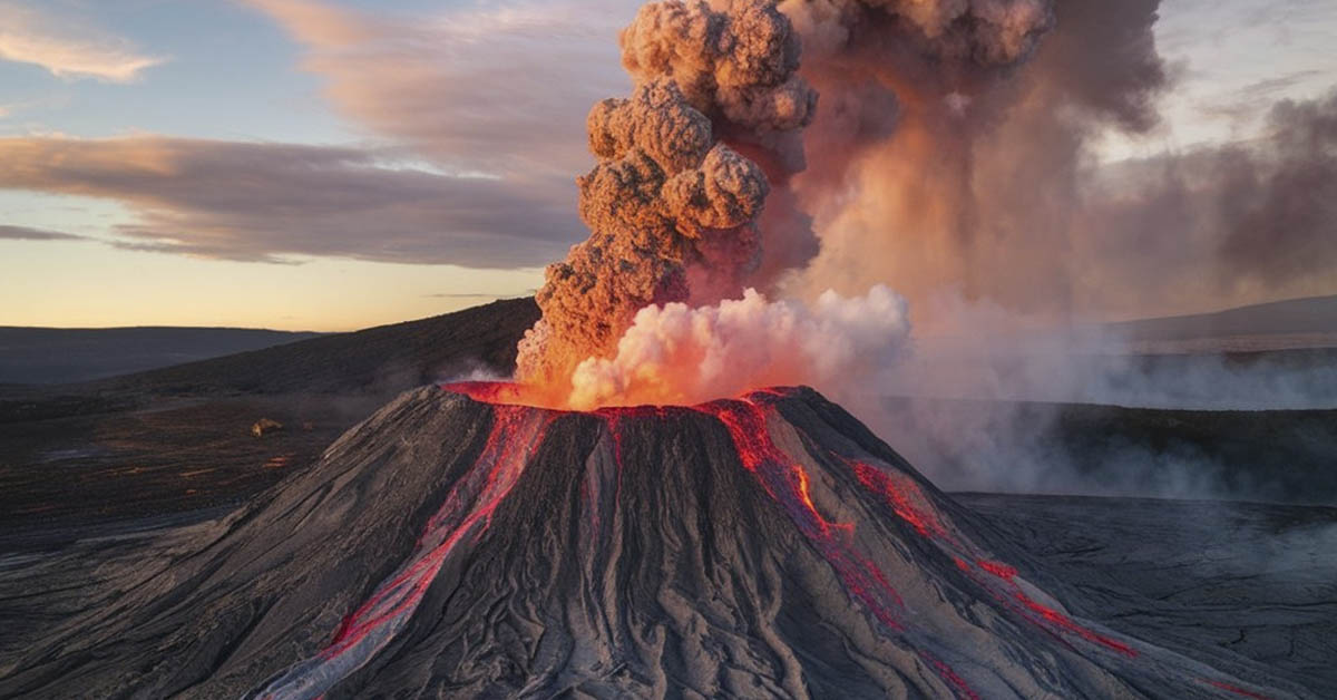

Today, we take for granted how many systems serve to warn us of impending natural disasters. Yet, this was not always the case. Imagine living in an era before the invention of all the technological advancements we enjoy today. Imagine a time before satellite imagery, gas sensors, seismometers, geological surveying, and global communication networks. How did our ancestors know if a natural disaster was about to occur? Well, they often looked to nature for subtle signs. For example, they knew an earthquake was about to occur if their cattle suddenly grew restless, rats fled their burrows, and birds flew away in flocks. Scientists are once again turning to nature in our modern era to help predict potential volcano eruptions.
How Nature Reveals An Impending Volcano Eruption
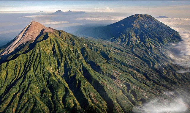
Trees are regarded as among the most reliable environmental storytellers and indicators. They often respond to changes in the environment in measurably visible ways that were of great benefit to our ancestors. The tree’s leaves can reveal what season it is just by their color. The size of the leaf will reveal if it has been a rainy season or if it has experienced drought. Researchers have now shown that trees can also reveal an impending volcano eruption. Additionally, the trees exhibit a change so significant in scale that it can be observed from space. This is where NASA steps into the picture, providing us with new insights into these visible changes.
The Effect of a Volcano Eruption on Surrounding Trees
When magma starts to make its way up from deep underground, a mix of gases, including water vapour, carbon dioxide, sulfur dioxide, and hydrogen sulfide, makes its way to the Earth’s surface. As the magma reaches the surface, the pressure decreases, and these gases start to separate from the molten rock. The trees soak up the CO2 as it surfaces, and the leaves turn a vibrant green hue as they photosynthesize. While this subtle change in color is not easily detected at ground level with the naked eye, they are observable from space. But, in order to do that, you would need satellites. Fortunately, NASA is in the right position to reveal to us what these satellites can see.
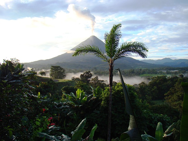
Tracking Volcanic Activity in Costa Rica
A research team was established to track the response of trees to the volcanic activity of de la Vieja volcano in Costa Rica. The team consisted of researchers from the AVUELO project, Landsat 8, the Smithsonian, Chapman University, and Occidental College. The aim of the team is to combine the latest satellite imagery technology with CO2 sensors that were placed in the forest canopies. This has helped the researchers detect the warning signs of volcano eruptions long before the appearance of any lava or smoke.
The 2024 Study on Volcano Eruptions and Trees
In 2024, a study published in the Remote Sensing of Environment journal suggested a significant link between carbon dioxide and the trees surrounding Mount Edna in Italy. Satellite imagery taken between 2011 and 2018 revealed 16 visible spikes in both CO2 levels and the vibrant greenness of the leaves on the trees. These changes coincided with the migration of magma from the volcano to the Earth’s surface.
Read More: Volcano Eruption Threatens 300,000 US Residents, Authorities Issue Immediate Warning
Not A Replacement For Existing Technologies
This new method of observation is not expected to replace existing technologies, but rather to supplement them. The more tools at their disposal to combine, the greater their chances of accurate volcano eruption predictions. Considering the potential damage earthquakes can have on surrounding natural environments and dwellings, it never hurts to have as many tools as possible. Scientists used to have to trek to volcanoes in the past if they wanted to measure CO2 levels. So, finding something to measure instead of the carbon dioxide directly really changes the game for them. They can use satellite imagery instead of going on dangerous and expensive excursions to remote locations.
Limitations of the Technique
There are certain limitations to this technique, though, and it won’t be able to reveal much in certain circumstances. There are many volcanoes that don’t have any trees surrounding them, or at least not enough to reveal anything useful when viewed from space. Some forests may respond in unexpected ways to changes in carbon dioxide levels, such as if they were affected by abnormal weather, diseases, or wildfires. Yet, while it may not be a one-stop solution to the problem, the technology does add another weapon to their arsenal in volcanic eruption prediction.
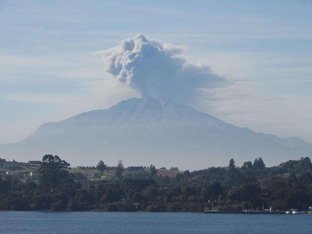
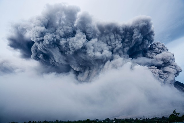
Eruption of Mount Etna
As I write this article, news has just broken that Mount Etna has erupted. Videos posted on various social media sites show tourists fleeing to safety after Europe’s highest active volcano started erupting. According to a statement issued by Italy’s National Institute of Geophysics and Volcanology, “Over the past few hours, the activity flagged in the previous statement issued at 4.14 am (3.14 am BST) has carried on with strombolian explosions of growing intensity that, at the moment, are of strong intensity and nearly continuous. Over the past few hours, the falling of a little thin ash has been flagged in the Piano Vetore area.”
The Bottom Line
This new research has revealed how trees can serve as early warning systems for volcanic eruptions. Using NASA satellites in orbit in space, scientists are able to track these changes. While this technology won’t replace existing methods, it will support them, adding another layer of useful information to their analysis. It’s particularly useful in remote areas where excursions would prove timely and expensive. However, this method won’t work in situations where there are not many trees surrounding the volcano. Continuous volcano eruptions, such as the one that occurred at Mount Etna, are reminders that we never know when an eruption may occur.
Read More: Experts Warn Undersea Volcano Could Erupt Soon—Here’s What We Know