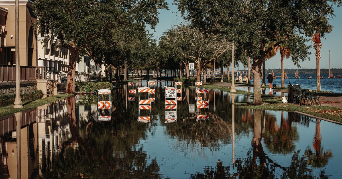

Jakarta is the only major national capital in history to have been officially abandoned by its own government – not because of war, economic collapse, or political scandal, but because the ground beneath it is disappearing. The Indonesian government’s decision to relocate to a newly built city on the island of Borneo wasn’t made in the abstract. It was made because large sections of Jakarta’s north had already sunk below sea level, with flood maps to prove it.
The forces driving cities disappearing by 2030 aren’t happening gradually enough to stay abstract. The combination of land sinking from beneath and seas rising from without is compressing timelines that once seemed comfortably distant. Cities that climate models once flagged as vulnerable “by the end of the century” are dealing with flood damage, saltwater intrusion, and infrastructure failure right now, in 2026.
Global sea levels have climbed 20 to 25 centimeters since 1900 and are now accelerating, rising at 3.7 millimeters annually, a rate driven by ice melt and ocean warming. Mountain glaciers account for 27% of sea level rise since 1960, while the Greenland Ice Sheet contributes 15% and the Antarctic Ice Sheet adds another 12%, according to a 2025 study published in Scientific Reports. By 2050, an estimated 800 million people will live in more than 570 coastal cities vulnerable to a 0.5-meter rise in sea level, according to the Coastal Wiki. The cities listed below represent locations where the threat of partial or full disappearance – through inundation, uninhabitability, or forced evacuation – is already measurable. None are guaranteed to vanish entirely by 2030, but all face conditions severe enough that significant portions are already functionally at risk.
1. Jakarta, Indonesia
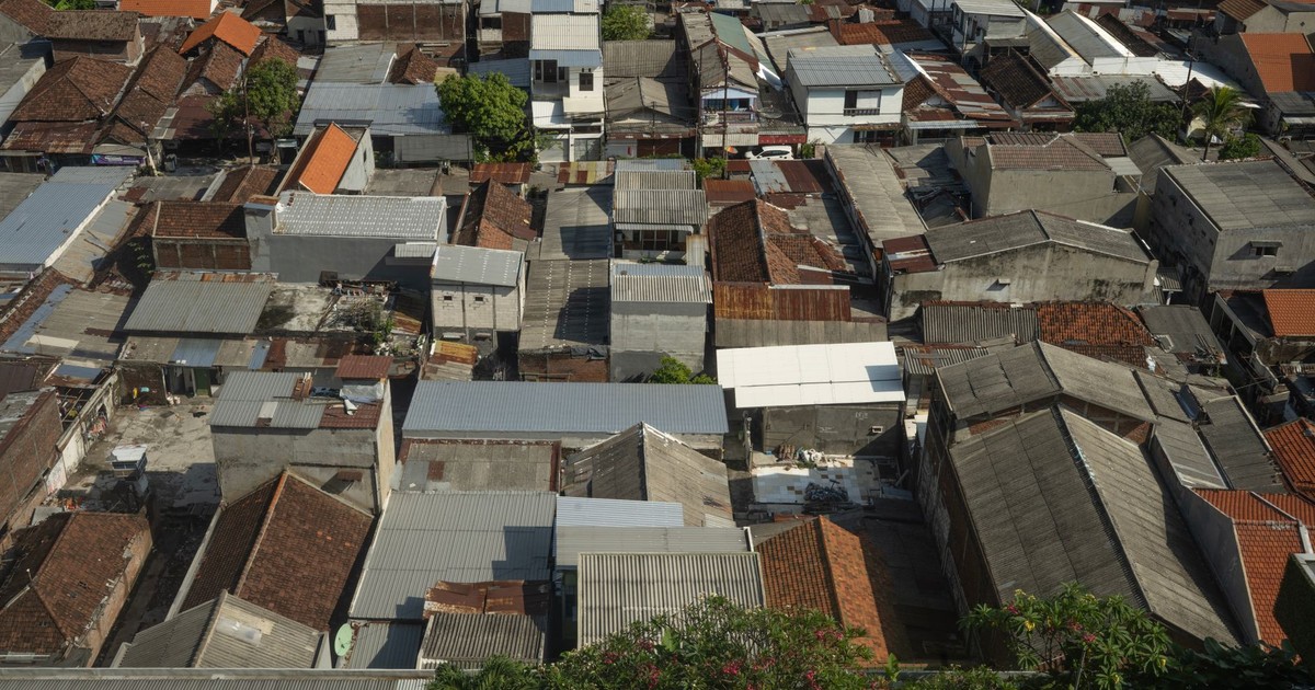
Jakarta’s land is sinking at an average rate of 3.5 centimeters per year, with the northern part of the city experiencing subsidence of up to 4 meters over the past four decades, according to The Jakarta Post. Nearly 40 percent of northern Jakarta is already below sea level due to land subsidence – a figure that has made the city one of the most acute examples of climate-driven urban collapse anywhere on earth.
Jakarta loses at least $186 million annually due to flood risks, a figure projected to rise to $421 million by 2030 if subsidence continues unabated. The Indonesian government has already approved the relocation of the national capital to Nusantara in Borneo, a $33 billion project driven in large part by Jakarta’s precarious situation.
Land subsidence in Java may account for up to 85% of relative sea level rise by 2050 in some places, with more than 75% of the island’s coastline projected to be dominated by subsidence-driven flood risk over the next 25 years, according to Columbia University’s Climate School.
2. Venice, Italy
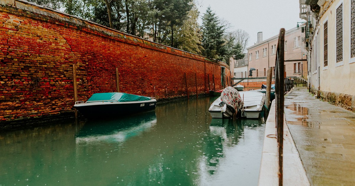
Venice faces a twin threat: sea levels are rising and the city itself is sinking by around two millimeters every year. The frequency of acqua alta – Italian for “high water” – has increased from under 10 events per year a century ago to over 60 annually, according to Earth.Org. In November 2019, the flooding that authorities labeled “apocalyptic” caused €360 million in damage to public property alone, while 90 percent of the city was submerged during the highest water event in 50 years.
Venice’s MOSE barrier system – 78 movable floodgates installed at the lagoon’s three inlets – was raised 28 times in 2024, up from 25 times the previous year, according to the Campaign for a Living Venice. Alvise Papa, head of the municipality’s Tide Forecasting Center, has noted that the number of tides exceeding 80 centimeters keeps increasing. MOSE was designed with historical data in mind, and climate projections suggest the barriers may require near-constant operation by 2100 – fundamentally altering both the city’s function and its lagoon ecology.
3. Miami, Florida, USA
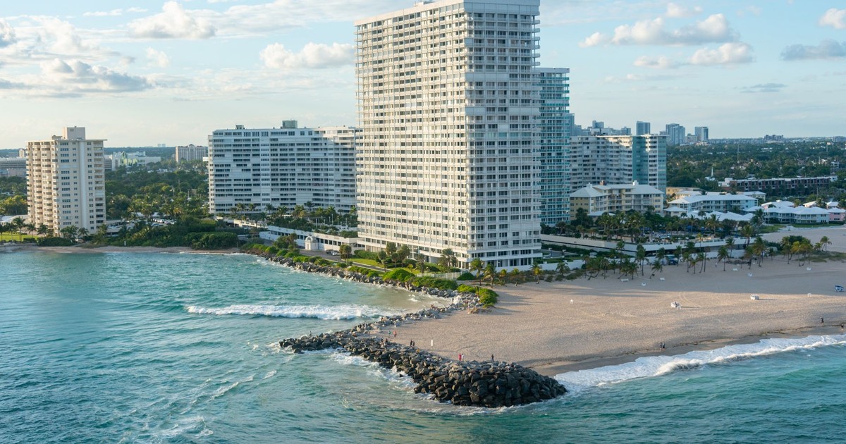
Miami’s porous limestone bedrock sets it apart from almost every other threatened coastal city. Unlike most coastal cities, Miami sits on top of porous limestone. This unique geology means that even behind a sturdy sea wall, seawater can leak down into the ground and cause flooding, making conventional defenses far less effective than in other cities.
Miami sees over 10 high-tide flood days yearly, up sharply from decades ago, according to Nature World News (2026). The sea level in South Florida has already risen 12.7 centimeters since 1993 and is projected to rise an additional 15 centimeters by 2030, based on data from NOAA’s coastal monitoring network.
Flooding that already occurs regularly disrupts traffic, contaminates drinking water, and damages infrastructure. Miami has invested in elevated roads and pump systems, but engineers acknowledge those measures buy time. They don’t solve the underlying geology.
4. New Orleans, Louisiana, USA
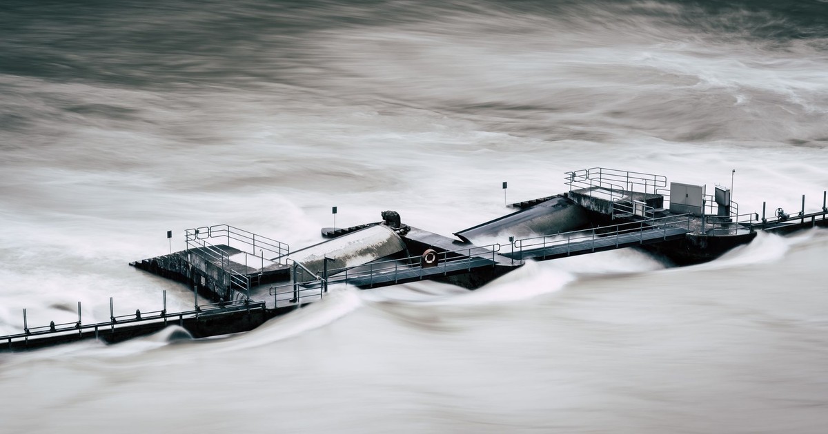
Approximately 99% of the population in New Orleans is at high flood risk, according to CNN’s 2026 reporting. That single figure encapsulates the city’s situation more clearly than almost any flood map.
Southern Louisiana faces 7 to 23 feet of sea level rise, with the shoreline projected to migrate as much as 60 miles inland by the end of the century, according to Yale Environment 360 (2026). Parts of the city already sit as much as 15 feet below sea level, and while the famous levee system keeps water out for now, that infrastructure faces compounding strain.
The relocation question is no longer abstract. Scientists and urban planners are actively debating managed retreat – the deliberate, planned movement of populations away from areas that cannot be cost-effectively protected.
5. Bangkok, Thailand
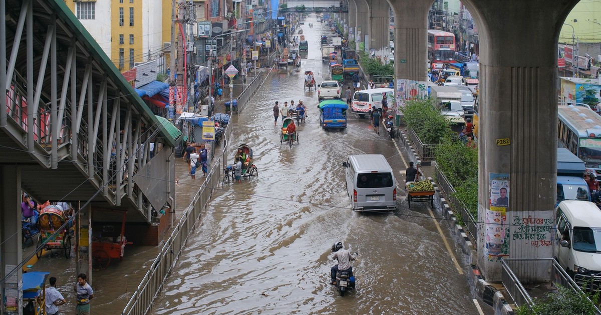
Bangkok sinks at an average rate of 8.5 millimeters per year, though some areas have historically experienced rates of 2 to 3 centimeters annually. The World Bank estimates that 40% of the city could be inundated by 2030 due to the combination of subsidence and sea level rise, according to the Stockholm Environment Institute.
The Thai capital sits just 1.5 meters above sea level and is built on very dense clay soil, which makes it especially prone to flooding. By 2030, coastal areas including Tha Kham, Samut Prakan, and the city’s main Suvarnabhumi International Airport could be at significant risk of inundation.
6. Lagos, Nigeria
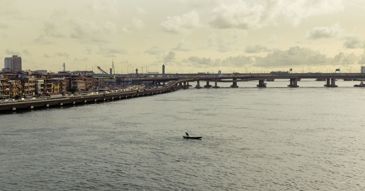
Lagos is the largest city in Africa and one of the fastest-growing on earth. About one-third of Lagos’ landmass is covered by water, and parts of the state – including Lagos Island, Victoria Island, and Ikoyi – lie below sea level, according to Environews Nigeria (2026).
Over 12 percent of Lagos’ land area falls within high-risk flood zones, according to a 2026 flood susceptibility assessment in Punch Nigeria. Rapid urbanization, inadequate drainage infrastructure, and ongoing coastal erosion amplify the risk. As the population continues growing, more people settle in low-lying areas with the least protection.
7. Alexandria, Egypt
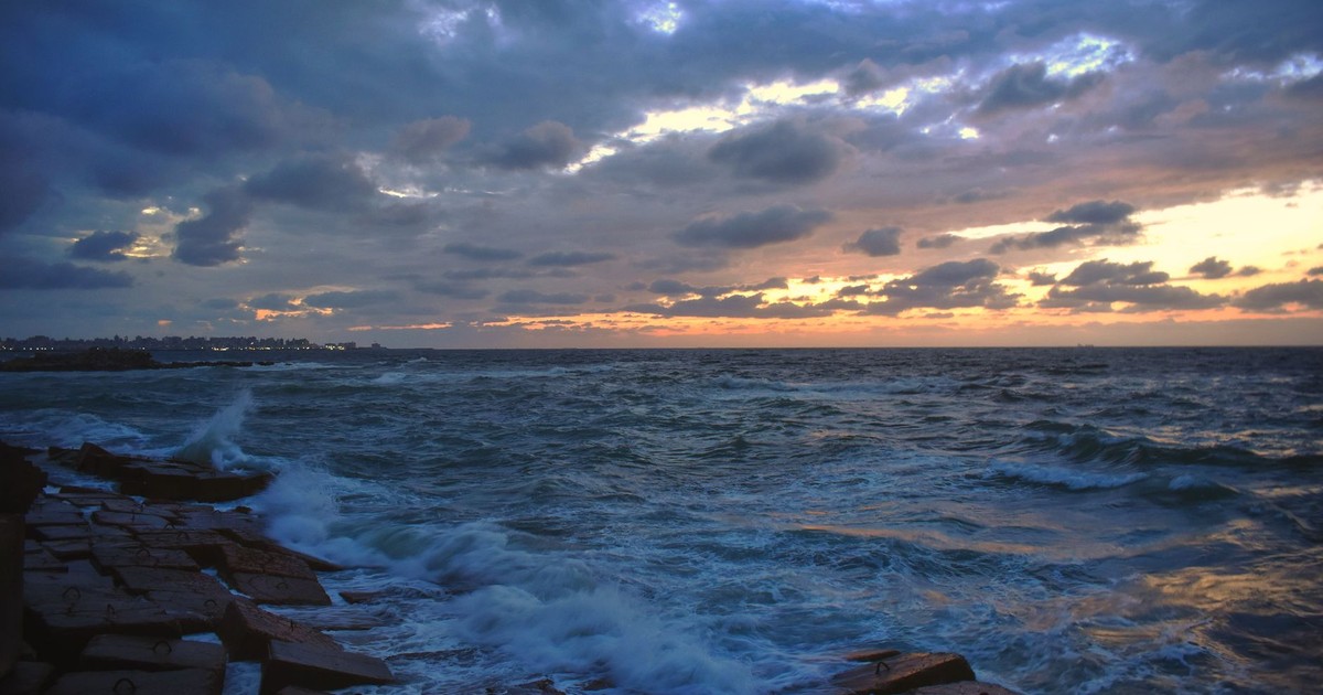
Nile Delta subsidence of 3 millimeters per year threatens UNESCO heritage sites and 5 million residents of Alexandria, with coastal inundation risk significant for 40% of the city, according to Science Times (2026).
The city is threatened by sea-level rise, increased flooding, saltwater intrusion into underground freshwater aquifers, and coastal erosion. As one of Egypt’s economic centers and a transportation hub with deep historical significance, Alexandria faces serious challenges for long-term climate adaptation. Even conservative sea-level projections suggest that a significant share of the Nile Delta – where millions of Egyptians live and where a large portion of national agricultural output is produced – will face permanent inundation risk.
8. Dhaka, Bangladesh
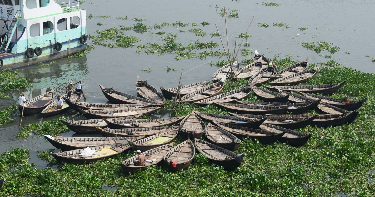
Dhaka is one of the most climate-exposed cities in the world. Situated in the world’s largest river delta, it faces extreme exposure to flooding, cyclones, and heavy rainfall. The city is home to more than 20 million people, densely packed into neighborhoods with limited drainage capacity.
At an elevation of just 4 meters, large portions of Dhaka’s population experience annual flooding. Ganges Delta subsidence is amplifying risks across the wider region. A significant and growing proportion of climate-displaced people from Bangladesh’s coastal areas have already moved to Dhaka, adding pressure to a city already rated among the world’s most densely populated.
9. Ho Chi Minh City, Vietnam
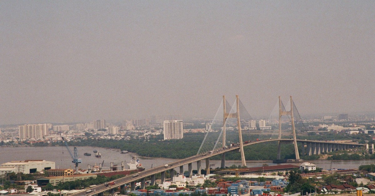
A combination of high tides, heavy rains, river overflow, and land subsidence driven by rapid groundwater extraction puts Ho Chi Minh City high on the list of the cities most vulnerable to sea level rise. Nearly 45% of the city stands less than one meter above sea level, and recurrent floods are an ordinary occurrence, according to Earth.Org.
Research from the University of Natural Resources and Environment HCMC shows the city’s ground level dropped by an average of 2 to 5 centimeters per year between 2006 and 2020, with some commercial areas sinking as fast as 8 centimeters annually, according to VnExpress International. Flooded areas already affect large portions of the city today, particularly the flat, heavily built-up marshland districts of the east and south. By 2050, sea levels are projected to rise by around 33 centimeters, and if the sea rises by one meter by the century’s end, 18% of the city and 39% of the Mekong Delta could be covered in water.
10. Mumbai, India
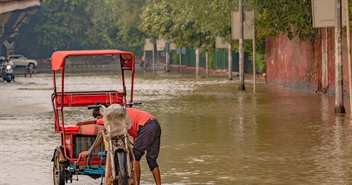
Subsidence, mangrove loss, and heavy monsoon rainfall threaten Mumbai’s 21 million residents, making it one of the most densely populated urban areas in the world facing combined coastal and weather-driven flood risk. A 2025 study published in Scientific Reports found that Mumbai and Kolkata face the highest flood risks of all major Indian coastal cities, particularly under high-emission scenarios.
According to research published by C40 Cities, Kolkata, Mumbai, and Dhaka have the highest number of people at risk from coastal inundation among global cities, with between 11 and 14 million people exposed in each city. Mumbai’s extensive storm drainage network was never built to handle the scale of flooding that climate models now project for the coming decades.
11. Kolkata, India
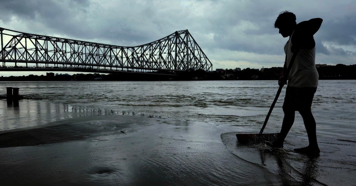
By 2050, Kolkata faces growing flood risks from rising river levels and sea-level rise, threatening agriculture, ecosystems, and human settlements across the Ganges-Brahmaputra-Meghna delta – one of the world’s most climate-sensitive regions, according to a 2026 climate report on India’s coastline. Studies also flag heightened cyclone vulnerability; events such as Cyclone Amphan demonstrated how coastal hazards can severely damage the city’s infrastructure, power supply, and transportation.
Much of West Bengal has thrived for centuries because of its fertile landscape, but Kolkata and its surroundings now face serious flood risk. Like Ho Chi Minh City, the city could struggle severely during monsoon season as rising waters leave less land available to absorb rainfall. The Sundarbans – the vast mangrove delta to the city’s south – is itself rapidly losing land to sea-level rise, removing a natural buffer that has historically protected Kolkata.
12. Shanghai, China
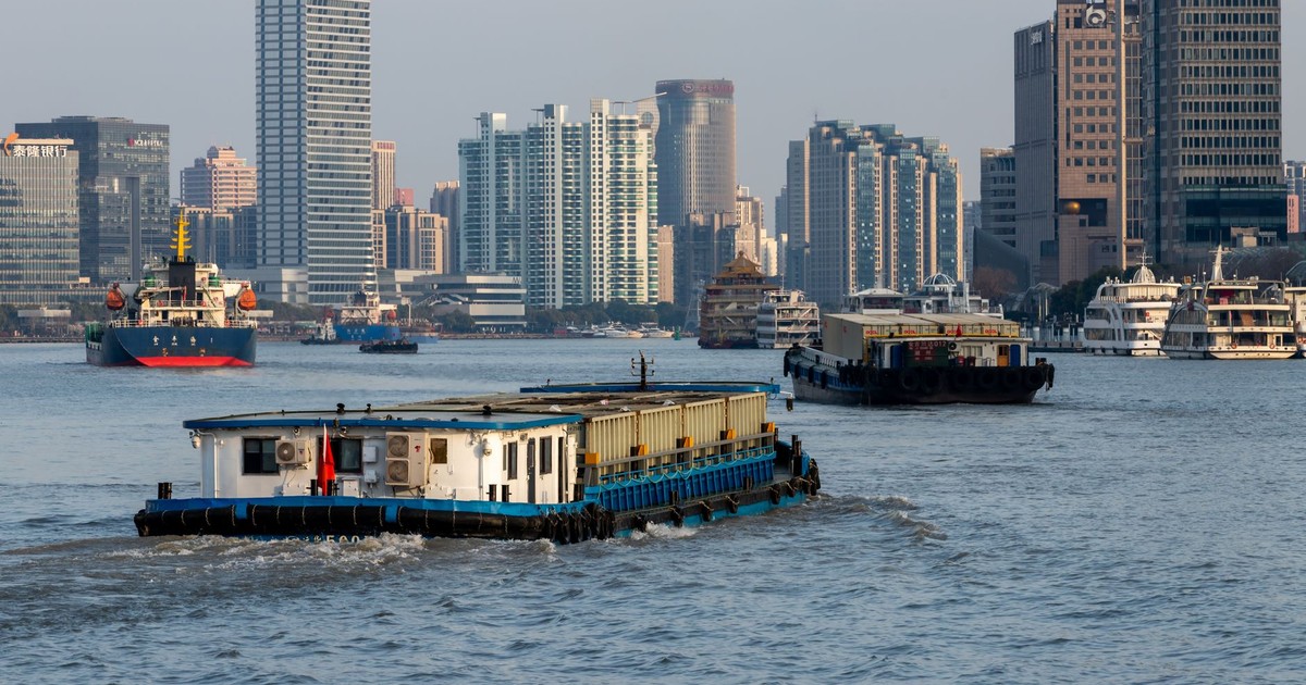
Shanghai, located on China’s east coast in the Yangtze River Delta, faces threats from low elevation, multiple major waterways, land sinking caused by groundwater extraction and urban weight, and increasing typhoon intensity driven by climate change.
According to C40 Cities, cities along China’s Yellow River Delta are experiencing sea level rise of more than 22 centimeters per year in some locations – a figure that reflects how dramatically local land subsidence can amplify global sea-level trends. Shanghai’s financial and port infrastructure sits in one of the most economically valuable and geographically exposed coastal zones in the world.
13. Guangzhou, China
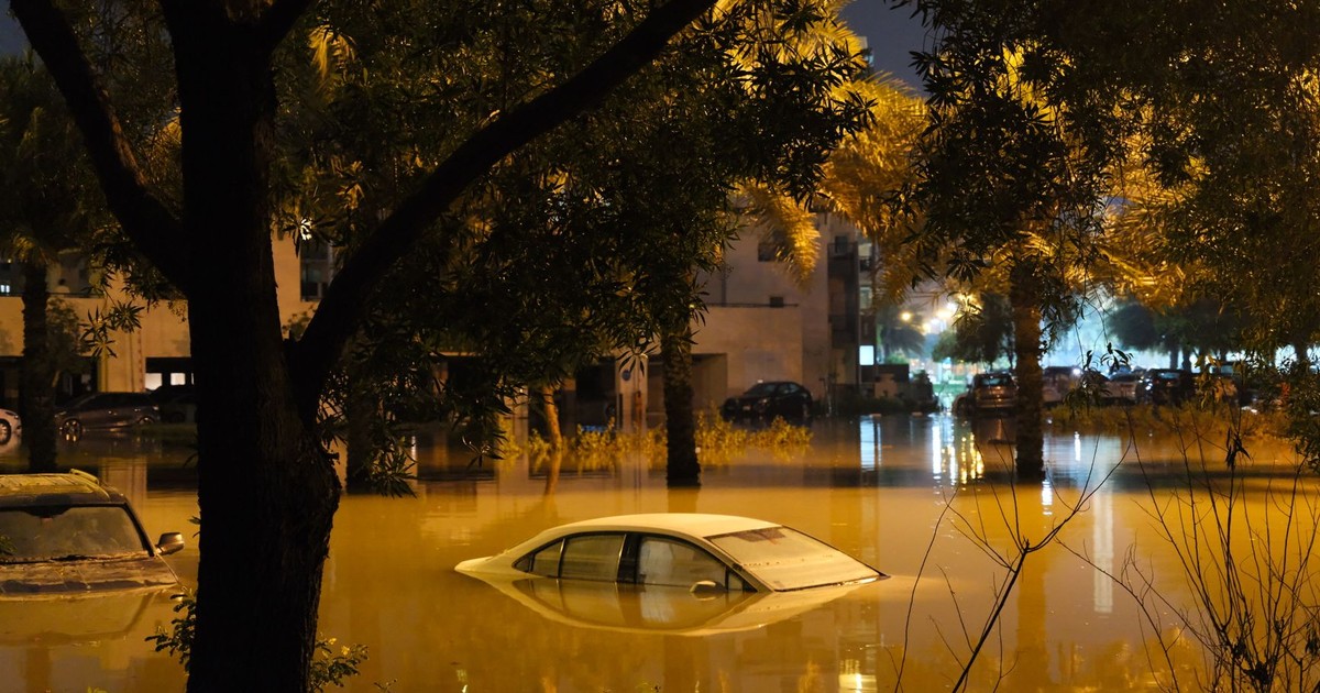
Guangzhou is a Pearl River Delta city of 15 million residents sitting at just 6 meters of elevation. Increasing typhoon intensity and storm surges could flood 20% of the city’s area.
Years of urban expansion and land reclamation have disrupted natural drainage, making flooding and waterlogging an increasing concern during extreme weather events. Guangzhou ranks among the top global cities by asset exposure to coastal flooding, meaning the economic losses from inundation events could be significant. According to C40 Cities, Miami, Guangzhou, and New York are the top three cities in terms of the value of assets exposed to coastal flooding between 2010 and 2070 – valued at between $2 and $3.5 trillion.
14. Manila, Philippines
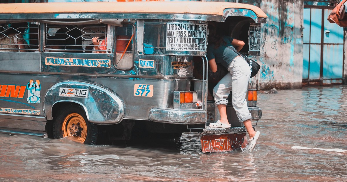
Sea level rise projections indicate that climate change will amplify the threats Manila’s floods already present. The city is already sinking at an alarming rate of 0.2 meters per year, seven times faster than the global average rate of sea level rise, according to Earth.Org. If this trend continues, almost the entire population of Manila will be displaced by the end of the current century.
Manila Bay’s geography amplifies storm surges, and Typhoon Haiyan in 2013 – which killed more than 6,000 people across the Philippines – serves as a preview of what strengthening storms combined with rising seas will deliver more frequently.
15. Karachi, Pakistan
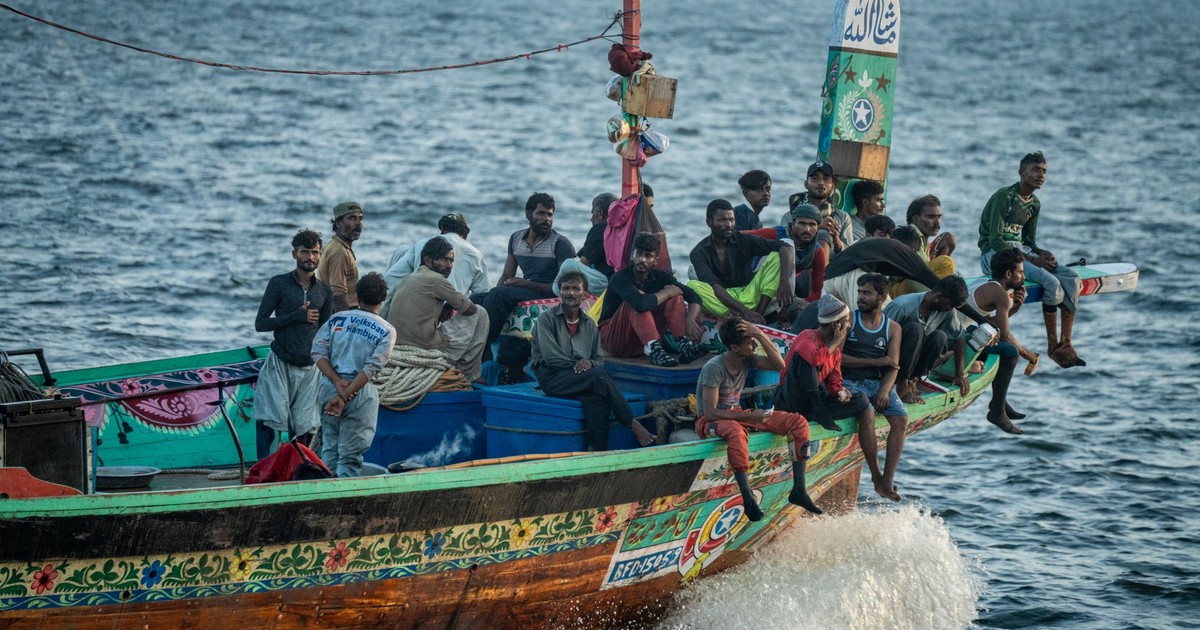
At 8 meters elevation, Karachi faces threats from glacier melt and changes in the Indus Delta. Submersion projections could affect over a third of the city by 2060. Karachi is home to more than 20 million people and is Pakistan’s economic engine, making it one of the highest-stakes urban climate risks anywhere in the developing world.
By 2100, a temperature rise is projected to cause 36% glacier loss in the Hindu Kush and Himalayas, according to the IPCC Sixth Assessment Report, further stressing the Indus system on which the city’s water supply depends. An observational study by the UNDP and Climate Impact Lab found that flood risk exposure in coastal cities like Karachi is anticipated to double to 10% of the population by end of century.
16. Amsterdam, Netherlands
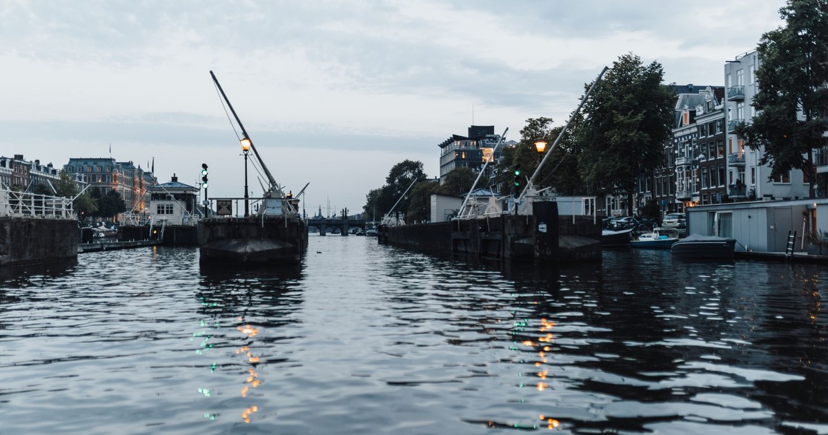
Amsterdam sits in a country where 26% of the land is below sea level, with the majority of urban areas built around water bodies. For this reason, the city already has some of the world’s most sophisticated flood control systems in place, adjusted and improved over more than 50 years.
Amsterdam relies on barriers and pumping stations to keep water at bay. The city is enhancing its infrastructure through the Delta Works program, which strengthens dikes and storm surge barriers, alongside sustainable projects like water storage systems and floating neighborhoods to mitigate future flood threats. The question is whether those systems will be enough against the accelerating pace of sea-level rise in the decades ahead.
17. New York City, USA – Among Cities Disappearing by 2030 in Asset Exposure
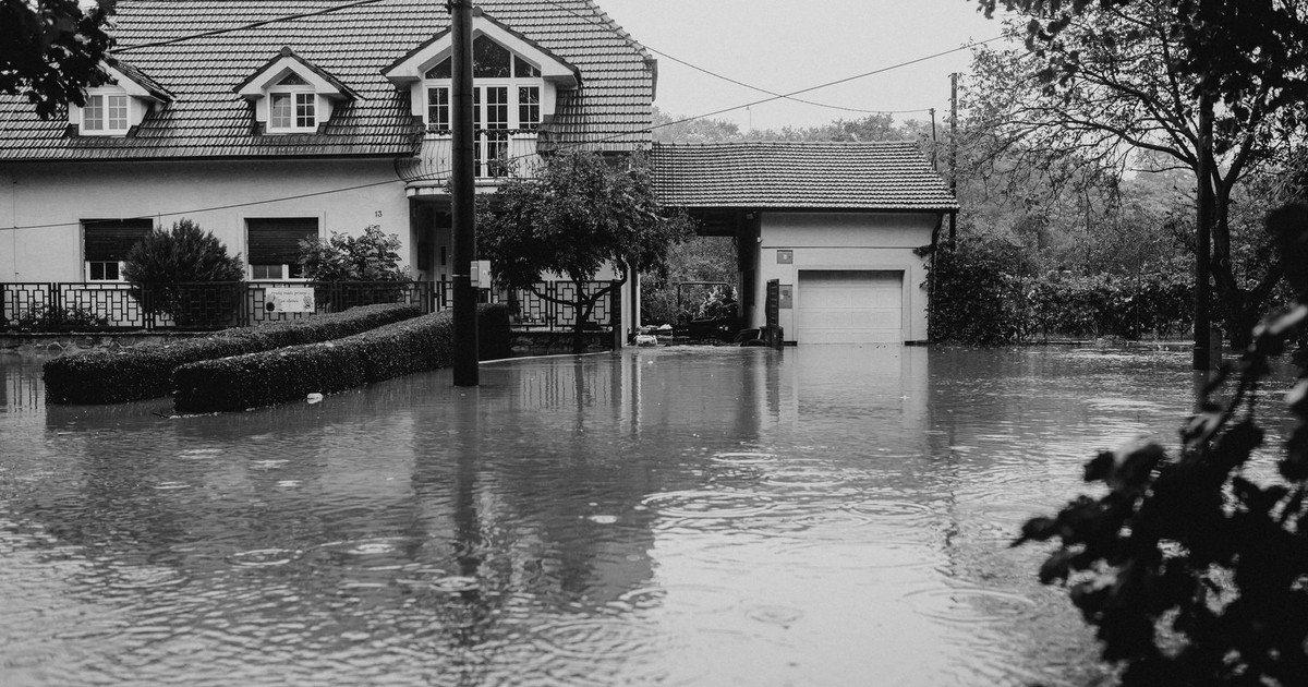
By 2050, nearly half a million – roughly 426,000 – New Yorkers will be living on “threatened land,” according to research from Climate Central. When Hurricane Sandy struck New York in 2012, coastal floods impacted an estimated 90,000 buildings, while 2 million people lost power, according to C40 Cities.
East Coast US cities, including New York City and Miami, are particularly vulnerable, experiencing sea level rise that is two to three times faster than the global average. Lower Manhattan, Red Hook, and the Rockaways face the highest acute risks, and current estimates suggest a major surge event will become far more likely within the next two decades.
18. Tokyo, Japan
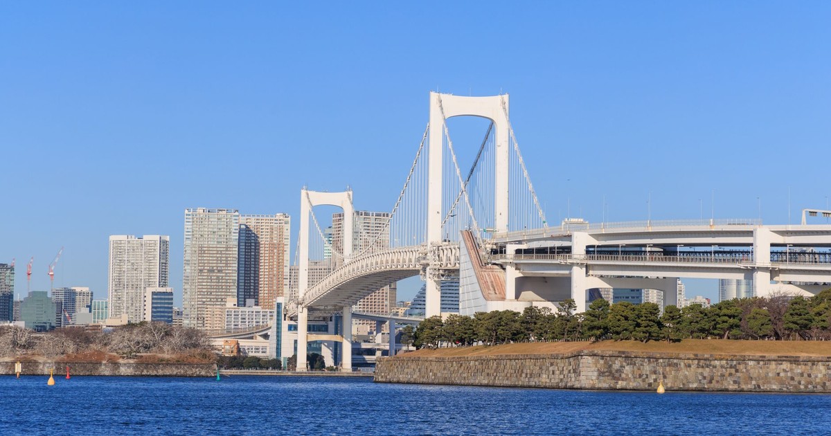
Tokyo is the most populous metropolitan area on earth, home to nearly 37 million people, and it sits directly on Tokyo Bay. Tokyo ranks among the top ten global cities in terms of asset exposure to coastal flooding, a list that spans only three wealthy countries: the United States, Japan, and the Netherlands.
Unless effective measures are implemented, substantial parts of the city could face inundation, causing widespread displacement and economic damage. Japan has invested heavily in sea walls and underground flood tunnels, but rising storm intensity combined with gradual sea-level rise creates a compounding challenge for infrastructure built to older specifications.
19. Osaka, Japan
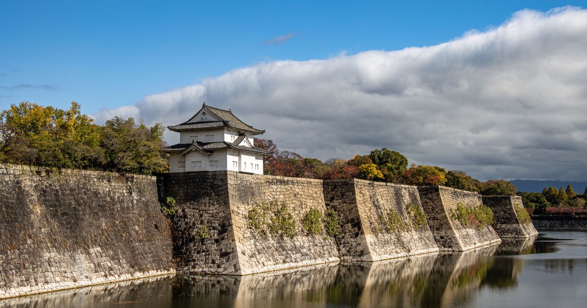
Osaka sits on a low-lying bay and features among the cities with the highest coastal asset exposure globally. Tokyo, Osaka, and a handful of other cities have been identified as having high coastal flood risk in projections for the 2070s.
Osaka’s Kansai region includes major industrial zones and port infrastructure. A major typhoon pushing a storm surge into Osaka Bay under future sea-level conditions poses a threat of losses that would rival any single natural disaster in modern Japanese history.
20. Virginia Beach, USA
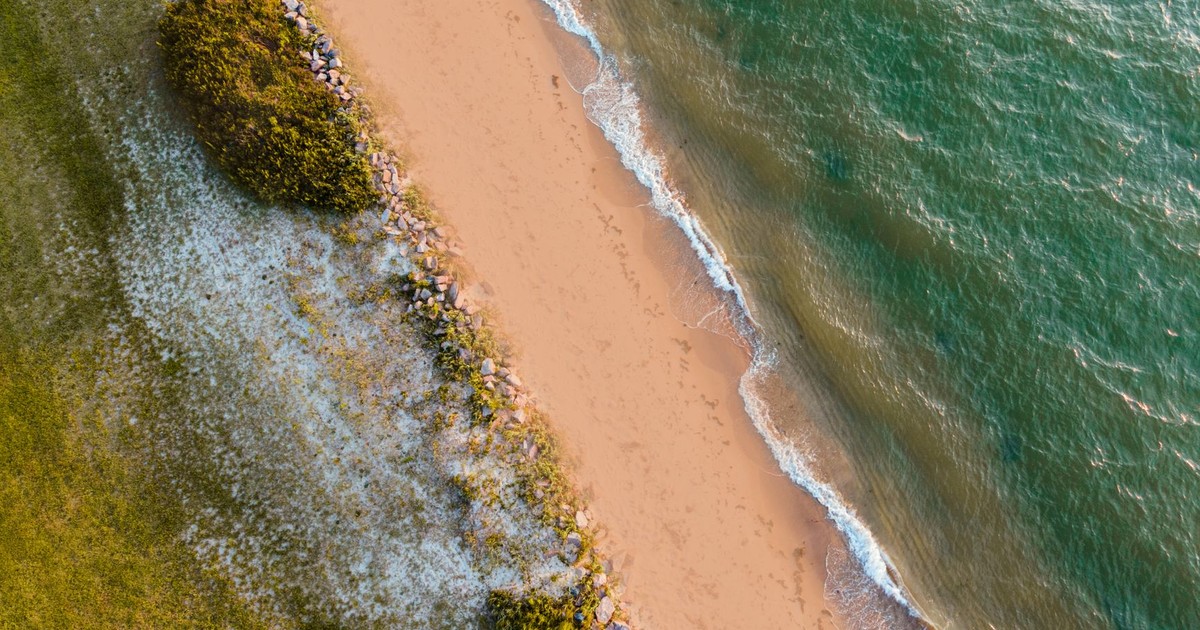
Virginia Beach has one of the fastest rates of relative sea-level rise on the US East Coast, driven by both rising water levels and sinking land. NOAA projects that Virginia Beach could experience up to nearly 12 feet of sea level rise by 2100 – a figure that places it among the most exposed cities on the entire Atlantic seaboard.
Virginia Beach’s military installations, including Naval Station Norfolk, face acute risk. The US Department of Defense has flagged sea-level rise as a national security issue precisely because of the concentration of infrastructure in this region. For readers interested in how sinking land is reshaping US coastal communities more broadly, this analysis of American cities at subsidence risk covers recent findings in detail.
21. Georgetown, Guyana
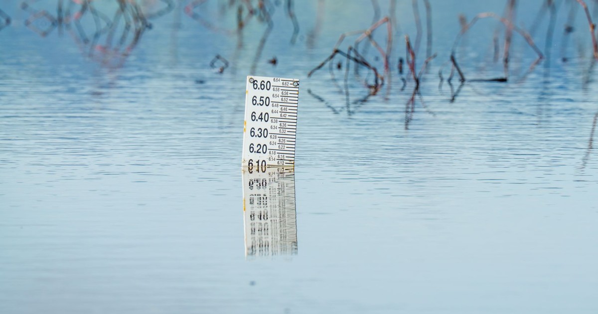
Georgetown, capital of Guyana, ranks among the top coastal areas at risk from rising seas by 2030. Georgetown sits below the high tide mark – a reality that has required the city to rely on a system of sea walls and drainage canals for decades. Those defenses were built for a different ocean. As sea levels rise faster than the infrastructure was designed to handle, the window for cost-effective adaptation is narrowing.
22. Semarang, Indonesia
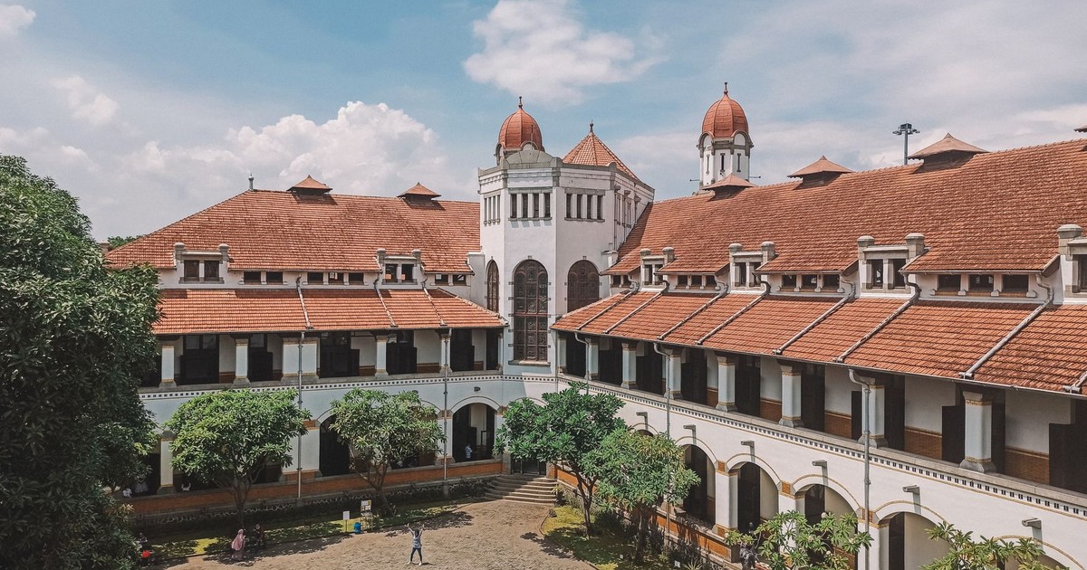
Semarang, on Java’s north coast, faces some of the same pressures as Jakarta but with far fewer resources to respond. Parts of the city have sunk by more than 1 meter in a single decade due to groundwater extraction and compaction of soft coastal sediments. Combined with tidal flooding that now reaches well into residential neighborhoods, large sections of the city are functionally at risk of becoming uninhabitable without major intervention.
The city is already investing in sea walls and drainage systems, but local government budgets are severely strained, and the pace of subsidence has outrun the pace of adaptation in several districts.
23. Rotterdam, Netherlands
Rotterdam ranks among the top 10 cities in the world by total value of assets exposed to coastal flooding, sitting alongside Miami, New York, and Tokyo. It is one of the busiest ports on earth, and its geographic position at the mouth of the Rhine delta means it confronts sea-level rise directly.
The Dutch have built Rotterdam into a showcase of flood adaptation – including a floating residential district, underground water plazas that double as parks in dry conditions, and a sophisticated system of pumps and barriers. Even Rotterdam’s planners are explicit that the current infrastructure was not designed for the upper range of IPCC sea-level projections.
24. Basra, Iraq
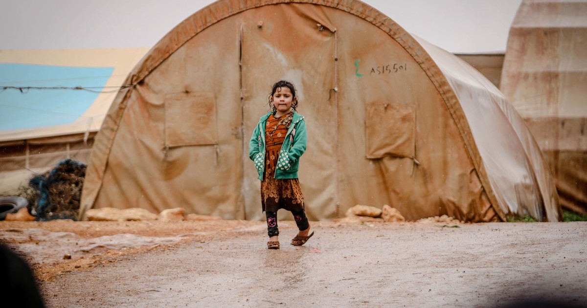
Basra, a vital port city in Iraq, faces the dual challenge of natural subsidence and rising sea levels. The city is situated at the confluence of the Tigris and Euphrates rivers near the Persian Gulf, making it vulnerable to both riverine flooding and coastal surge.
Basra’s infrastructure, weakened by decades of conflict and underinvestment, is poorly equipped to absorb the scale of flooding that climate models project for the region over the next two decades. The saltwater intrusion already affecting the Shatt al-Arab waterway is damaging drinking water supplies and agricultural land.
25. Key West, Florida, USA
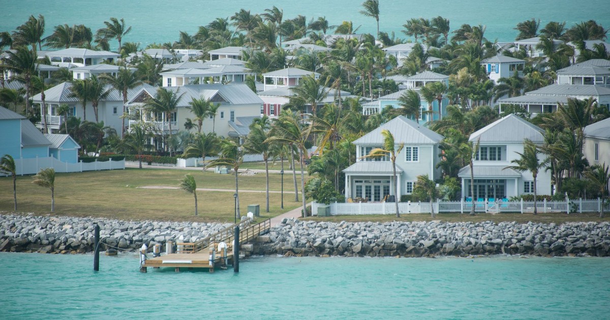
Key West sits at an average elevation of just 1.8 meters above sea level – among the lowest of any US city. Data from Climate Central’s coastal risk screening tool suggests that parts of the island could face regular inundation well within the next decade. The combination of sea-level rise, more intense hurricanes, and the porous limestone bedrock shared with the rest of South Florida make Key West one of the most acutely at-risk communities in the United States.
Property values in Key West have not collapsed yet, but insurance markets are already responding, with several major insurers withdrawing from Florida’s coastal market. The retreat of private capital from flood-prone real estate is often the first measurable signal that a location’s long-term habitability is in question.
26. Maldives (Malé)
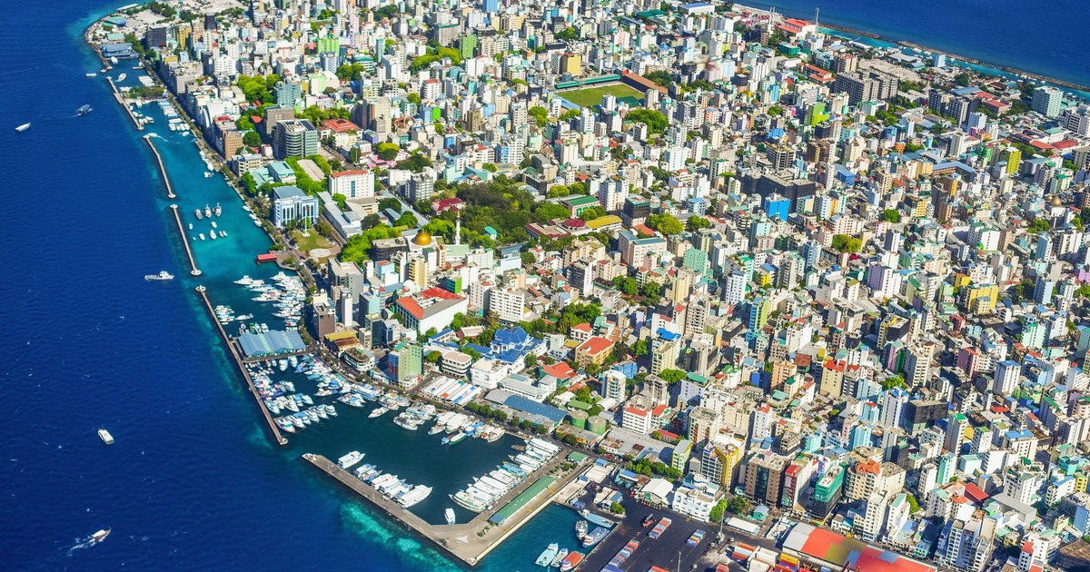
The Maldives is the world’s lowest-lying country, with an average ground elevation of just 1.5 meters above sea level. The Maldives is made up of 1,200 small coral islands home to 540,000 people, and the ocean could consume 77% of its land area by 2100 should sea level rise just 45 centimeters, according to the UNDP.
Malé, the capital, houses roughly a third of the entire country’s population on an island roughly 2 kilometers across. The government has invested in a floating city concept – a cluster of interconnected platforms designed to house 20,000 people – as the most serious near-term adaptation option. For the Maldives, disappearance is an engineering problem with a shrinking timeline.
Read More: 7 Ways Life on Earth Could Be Completely Different by 2050
What to Do With This Information

None of the cities on this list are guaranteed to vanish by 2030. The word “disappear” covers a range of outcomes – from partial flooding of low-lying districts to wholesale evacuation of coastal populations. What the science confirms is that the window for avoiding the worst outcomes is narrower than it was even five years ago. The IPCC projects global mean sea level rise of 0.28 to 0.55 meters by 2100 under the lowest emissions scenario, and 0.63 to 1.01 meters under the highest, according to the IPCC data. The difference between those two numbers reflects choices being made right now about energy, land use, and emissions.
For anyone living in or near a coastal city, the practical implications are real. Insurance availability and pricing are already changing in Miami, Key West, New Orleans, and parts of the Gulf Coast. Property values in flood-prone areas are beginning to reflect risk in ways they didn’t a decade ago. For anyone with a financial stake in coastal real estate – or planning to buy – understanding local subsidence rates, updated flood maps, and insurance market trends is no longer optional.
Cities are not passive victims of sea-level rise. The cities with the best outcomes over the next 30 years will be those that updated their flood maps earliest, redesigned drainage infrastructure before the crisis arrived, and began managed retreat from the most indefensible zones before political pressure made it impossible. For everyone else, the cities on this list are a preview of what happens when the gap between the pace of climate change and the pace of adaptation closes faster than anyone planned.
AI Disclaimer: This article was created with the assistance of AI tools and reviewed by a human editor.
Read More: 2050: The World We’ll Inherit if Climate Change Continues Unchecked