The 12 Best US Regions to Be In If Society Collapses
The US racked up 27 separate billion-dollar disasters in a single year – a number that felt unthinkable two decades ago. Most of those losses were concentrated in a predictable cluster of states: Gulf Coast counties flattened by hurricanes, river towns drowned by floods, and western cities scorched by wildfire. The regions that avoided nearly all of it aren’t random either.
The question of where to be if things genuinely fall apart – supply chains snap, the power grid fails, civil order buckles – sounds like fringe territory. It isn’t. Researchers published a peer-reviewed analysis in Springer’s Discover Global Society journal in 2025 examining the real dynamics of societal collapse across history, and the study proposes adaptive strategies, including fostering local self-sufficiency, building resilient community networks, and embracing uncertainty as central to survival in a deeply altered world. Those traits map neatly onto geography. Some parts of the US have all three in abundance. Others have almost none.
Low natural disaster exposure, access to clean freshwater, viable farmland, low population density, and a culture of self-reliance that predates any emergency are the dividing line between a genuinely resilient location and a wishful one. Sufficient arable land for small-scale farming and a stable climate – manageable temperatures, reliable rainfall, low flood or wildfire risk – are among the most critical criteria for long-term survival in any collapse scenario. The locations below meet those criteria. They’re not bunker fantasies. They’re places where people already live this way, and where geography would continue to work in your favor if the broader system didn’t. These are the best places society collapse research and risk data consistently point to in the US.
1. The Ozark Mountains (Missouri and Arkansas)
The Ozark Mountains’ dense forests and remote valleys provide essential natural resources and isolation critical for survival scenarios. Image Credit: James Mirakian / Pexels
The Ozark Mountains, covering Missouri and Arkansas, combine elevation, abundant freshwater, and rugged terrain in ways that work strongly in favor of long-term resilience. The community here has a strong sense of cohesion, with rural infrastructure that supports self-reliance. The terrain itself acts as a natural barrier, discouraging mass migration while offering dense forest cover, natural spring water, and rolling hills that support small-scale agriculture.
Residents in the region often already embrace a culture of preparedness, with many living off-grid or semi-self-sufficiently. Hunting, fishing, and foraging opportunities make it possible to live off the land with minimal outside support. Deer, turkey, and freshwater fish are abundant across both states. The growing season in the Arkansas and Missouri Ozarks runs roughly eight months, long enough for multiple crop cycles.
FEMA’s National Risk Index provides information for communities most at risk to 18 different natural hazards, offering a baseline risk measurement for expected annual loss, social vulnerability, and community resilience at the county level. Ozark counties score among the safer regions in the country on this index. Freshwater sources – rivers and streams – are abundant throughout, and local food networks ranging from small farms to woodland foraging offer meaningful survival capacity even during difficult periods.
2. Western Montana
Montana’s vast wilderness offers the land area and water access necessary for self-sufficiency during societal breakdown. Image Credit: Landon B / Pexels
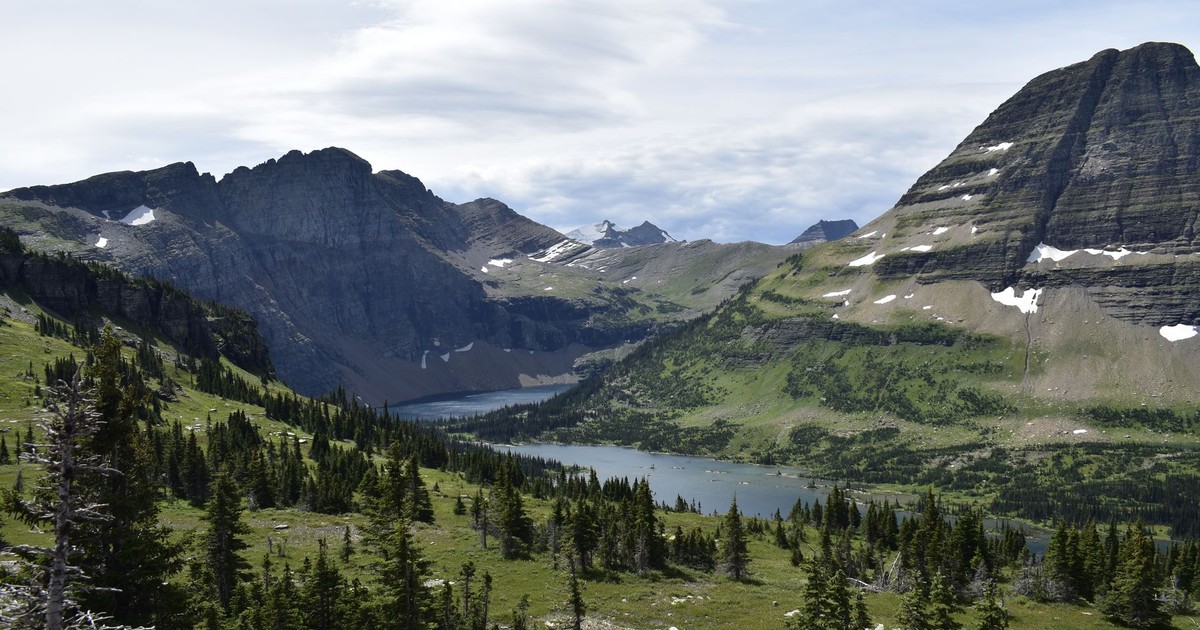
Western Montana consistently performs well in assessments of resilience against large-scale disruption. The region has a low population density, meaning resources are more evenly distributed, and its mountainous terrain offers natural protection. The Bitterroot Valley in particular sits between two mountain ranges, limiting road access from the east and west while supporting a long agricultural tradition of cattle ranching, orchards, and market gardens.
According to World Population Review, Montana has a population of roughly 1,151,831. The total area in Montana is 147,039 square miles, with a population density of around 7 people per square mile – 54th out of 56 states and territories. That figure matters enormously in a collapse scenario. Lower density means fewer competing demands on water, food, and land. It also means social cohesion is more achievable.
Abundant timber, clean water, and fertile valleys make western Montana a stronghold of resilience. Rivers like the Bitterroot, Clark Fork, and Flathead provide consistent freshwater. The region’s firearm culture and homesteading ethos mean that practical survival skills are not exotic here – they’re routine.
3. Northern Idaho Panhandle
Idaho’s panhandle forests deliver abundant timber, game, and water sources fundamental to long-term survival sustainability. Image Credit: Kevin Bidwell / Pexels
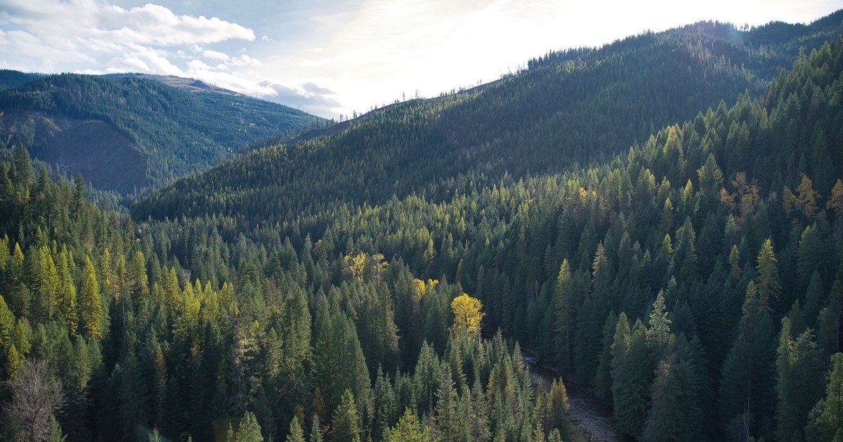
The Idaho panhandle shares Montana’s geographic advantages while adding a few of its own. The region sits at elevation, away from flood plains, and is ringed by national forest land that buffers it from urban sprawl. The mountains of northern Idaho are rich in wildlife, edible plants, rivers, and lakes. Sustaining yourself on natural resources here is genuinely feasible for those with the right skills.
The area around Coeur d’Alene and Sandpoint already has an established off-grid and homesteading community. Real estate remains relatively affordable compared to coastal markets. The Spokane River and Lake Coeur d’Alene are both substantial freshwater sources, and the surrounding national forests offer timber, game, and forage. Abundant timber, clean water, and fertile valleys make northern Idaho one of the strongest resilience candidates in the western US.
4. Michigan’s Upper Peninsula
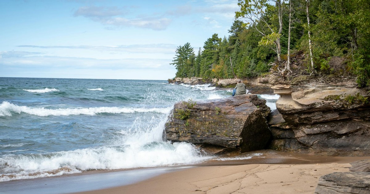
Michigan’s Upper Peninsula provides freshwater access and natural isolation that proves invaluable when supply chains collapse. Image Credit: Ken Jacobsen / Pexels
Michigan is often called one of the safest states in the US when it comes to natural disasters. Nestled in the Great Lakes region, it sits far from hurricane-prone coasts and doesn’t sit on any major fault lines, making earthquakes rare. The Upper Peninsula specifically is among the least-visited and least-populated parts of the state, separated from the Lower Peninsula by the Straits of Mackinac.
According to NOAA’s coastal data, the Great Lakes account for 21 percent of the world’s freshwater. Michigan borders four of the five Great Lakes. Michigan’s Department of Environment, Great Lakes, and Energy released the 2025 Michigan State of the Great Lakes Report, an annual report exploring major accomplishments, issues, initiatives, and challenges related to the health and sustainability of the Great Lakes – the world’s greatest surface freshwater system. The 2025 report focuses on how individuals, communities, organizations, universities, tribes, and governments unite around the waters, ecology, and economy of Michigan’s Great Lakes – a governance structure that means this water resource is actively managed and defended. For a collapse scenario, having a clean, vast, and legally protected water source nearby is one of the most valuable assets imaginable.
The UP’s dense forests provide heating fuel and building material. The growing season is short but supports cold-hardy crops like potatoes, root vegetables, and grains. The region’s hunting and fishing culture is deeply embedded. If you can handle hard winters, the Upper Peninsula gives you water security that almost nowhere else in the country can match.
You can build on that foundation with practical food preservation and storage strategies especially relevant to northern climates where extended winters make year-round food planning essential.
5. Northern Minnesota
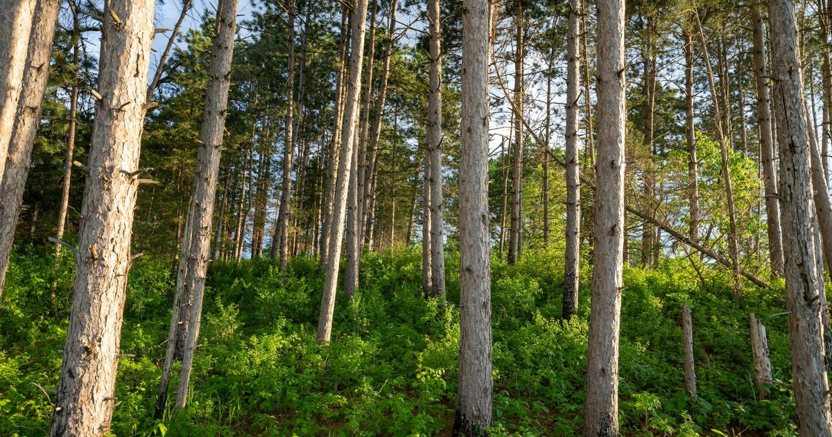
Minnesota’s northern woods offer renewable resources and low population density essential for off-grid survival strategies. Image Credit: Tom Fisk / Pexels
Northern Minnesota stands out for high resilience, low disaster exposure, and an abundance of natural landscape. According to World Population Review, Minnesota has one of the lowest levels of unemployment and food insecurity in the country – a meaningful indicator of baseline stability in any disruption scenario. The region is well shielded from the usual spectrum of natural hazards, with cold winters that suppress the risk of massive wildfires or hurricanes.
The Boundary Waters Canoe Area Wilderness alone covers more than a million acres of lakes, rivers, and forest. Clean water is not a concern here – the density of lakes and rivers across northern Minnesota is extraordinary. Fertile soil and intensive agricultural practices in the region produce sufficient locally sourced food. Extensive forests provide building materials, fuel, and forage, ensuring a meaningful degree of independence from outside supply chains.
The practical advantage of northern Minnesota over many other options on this list is the existing small-town infrastructure. Towns like Grand Marais, Ely, and International Falls have hardware stores, feed suppliers, and agricultural co-ops already operating – the kind of local economy that would remain partially functional even if national logistics broke down.
6. Interior Alaska
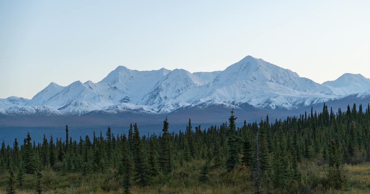
Alaska’s interior wilderness combines extreme isolation with abundant natural resources, making it ideal for complete self-reliance. Image Credit: John De Leon / Pexels
Interior Alaska is the most isolated retreat for those who want true separation from population centers. With sub-freezing temperatures and vast, untamed land, Alaska’s interior offers self-sufficiency and safety that few other US regions can equal. Natural resources, including fresh water and wildlife, are plentiful, creating strong baseline survival conditions.
Alaska is by a substantial margin the least densely populated state, with about 1.29 people per square mile – a figure that tells you almost everything about how few competing demands exist on its land and water. Salmon runs in interior rivers are among the most productive in North America. Moose hunting is a significant food source for many rural Alaskans year-round, not just during formal hunting seasons.
Interior Alaska demands genuine cold-weather competence and a steep learning curve. Supply lines are already minimal, meaning anyone moving there needs to arrive with skills, tools, and stores – not a plan to acquire them once there.
7. Appalachian Highlands (West Virginia and Virginia)
Appalachian highlands feature established communities with farming knowledge and terrain that naturally supports independent living. Image Credit: Ken Jacobsen / Pexels
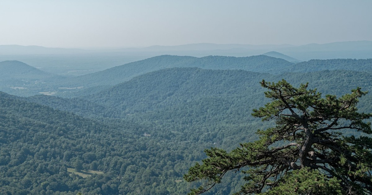
The Appalachian Highlands, spanning parts of West Virginia and Virginia, feature mountainous terrain and minimal exposure to major natural disasters. The region has a solid agricultural foundation, providing local produce. Its low disaster frequency and tight, cohesive communities place it near the top of resilience rankings for US locations.
Towns here are less exposed to hurricanes, wildfires, and floods, and residents are better positioned to weather a collapse as a result. The culture of the central Appalachians – canning, hunting, small-plot farming, and deep community ties – is not something recently adopted for aesthetics. It predates modern supply chains by generations. Land is affordable, particularly in West Virginia’s rural counties, and the growing season supports corn, beans, squash, and a wide variety of fruit trees.
The Appalachian region has experienced significantly more flooding in recent years. FEMA’s National Risk Index tracks community-level hazard exposure across 18 natural hazard categories, with county-level data on social vulnerability and expected annual loss – and flood risk in Appalachian valley communities has trended upward over recent years. Avoid valley floors and river bottoms. The resilience advantage lies in the mid-elevation ridges and hollows, not the lowland settlements.
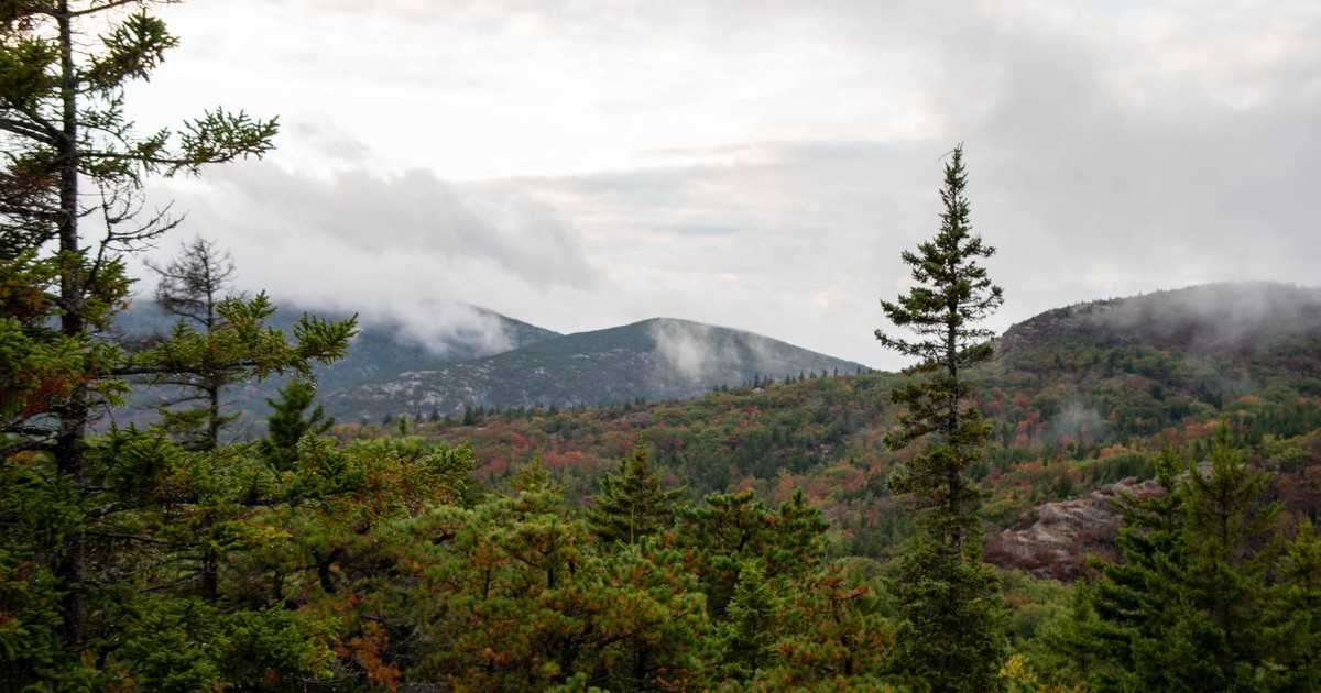
8. Aroostook County, Maine (Northern New England)
Maine’s northern forests provide the renewable resources and geographic remoteness that enable long-term survival independence. Image Credit: Daniel Miller / Pexels
Aroostook County boasts strong local food systems, with varied crop and livestock production oriented toward self-sufficiency. FEMA’s National Risk Index identifies communities most at risk from 18 different natural hazards, and Aroostook County scores in the low-risk tier across most of the hazard categories that destabilize populated regions. Its seclusion provides protection from urban unrest, and the region can remain well-stocked and safe for extended periods.
Known locally as “The County,” Aroostook is the largest county east of the Mississippi by land area and one of the least populated. Potato farming has been the backbone of its economy for over a century, and the surrounding forests offer timber, game, and wild berries. The St. John River provides freshwater, and the Canadian border provides additional isolation from any social unrest concentrated in the urban Northeast.
Northern New England as a whole offers abundant natural resources and quiet isolation. Thick forests, clean rivers, and low population density make it a strong candidate for survival-minded individuals. The region’s long history of small-scale farming and forestry provides a genuine foundation for self-sufficiency. Winters are severe, but the communities here have always lived with that reality.
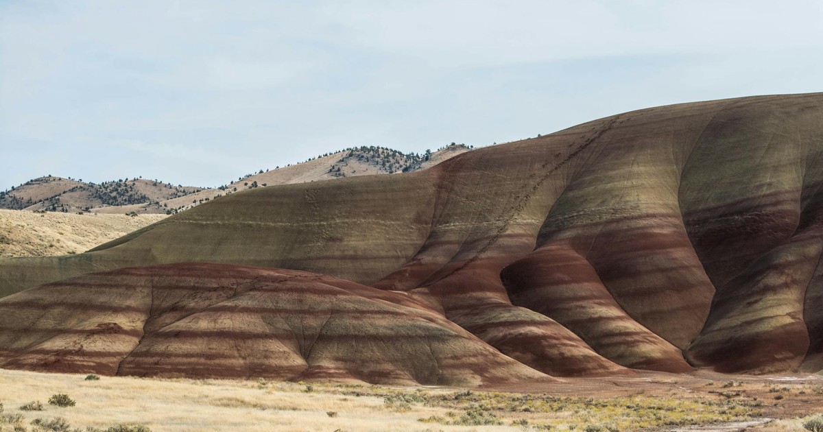
9. Eastern Washington and Oregon (Inland Pacific Northwest)
Eastern Oregon’s remote landscape offers water access and lower population density critical for societal collapse preparedness. Image Credit: Photo Collections / Pexels
Eastern Washington and Oregon offer a balance of agricultural productivity and isolation. Unlike the crowded coastal regions, these inland areas are less populated and more self-reliant, with strong agricultural traditions. The Columbia River Basin provides abundant water for irrigation and drinking. The region’s mix of valleys, forests, and open land allows for diverse survival strategies – from farming to livestock to foraging.
The Palouse region of eastern Washington is some of the most productive dryland wheat country in the world. Eastern Oregon’s high desert and forested mountains create a varied landscape with multiple livable microclimates. Neither area sits on major earthquake fault lines comparable to those along the Cascadia Subduction Zone on the coast, and both are far removed from the wildfire corridors that plague California and western Oregon.
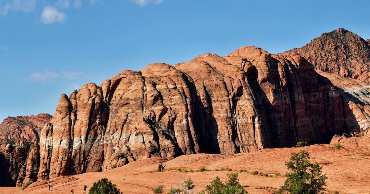
10. Southern Utah and the Four Corners Region
Utah’s Four Corners region combines defensive terrain and water sources that enhance survival prospects during disruption. Image Credit: Jeffrey Eisen / Pexels
The Colorado Plateau, which covers much of southern Utah and corners of Colorado, New Mexico, and Arizona, offers a type of resilience different from the forested regions on this list. The terrain is naturally defensive – canyons, mesas, and vast distances from major population centers create an almost impassable buffer. The area receives minimal catastrophic weather events and sits away from major earthquake zones.
FEMA’s National Risk Index, which identifies communities most at risk from 18 different natural hazards and calculates baseline risk at the county level, shows much of inland Utah scoring low across the full hazard spectrum. Water is the critical variable. The Colorado River system, while under pressure from long-term drought, feeds into this region. Communities that have established well water or proximity to reliable springs have a meaningful advantage.
The Mormon pioneer tradition in much of rural southern Utah has created a culture of food storage, community preparedness, and agricultural self-reliance that remains active today. Many households in the region maintain a year’s supply of food as a matter of routine religious practice – a preparedness baseline that most of the country doesn’t come close to matching.
11. The Great Smoky Mountains Region (Tennessee and North Carolina)
The Great Smoky Mountains’ elevation and forested terrain provide both natural resources and community farming traditions. Image Credit: Joshua Woroniecki / Pexels
Tennessee’s culture of self-reliance and community cooperation is a meaningful asset. Many residents already engage in homesteading, gardening, and small-scale farming. Access to clean water and abundant wildlife ensures that survival resources are close at hand. The Smokies offer a balance of productivity and security that makes them one of the most practical refuges in the eastern US, especially for those who value both nature and community.
The southern Appalachians here receive ample rainfall – typically 50 to 80 inches annually at elevation – which supports lush forest growth, reliable spring-fed creeks, and productive gardens. The growing season runs from April through October at most elevations. Wild edibles, including ramps, morel mushrooms, pawpaw, and persimmon, are genuinely plentiful for those who know where to look.
One caveat worth noting: tornado activity is shifting eastward, with increasing frequency now recorded in portions of Mississippi, Alabama, Arkansas, Missouri, Illinois, Indiana, Tennessee, and Kentucky. The foothills and higher elevations of the Smokies are less exposed to tornado risk than the flatlands to the west, so elevation selection within this region matters.
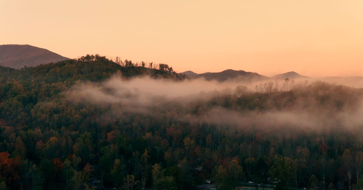
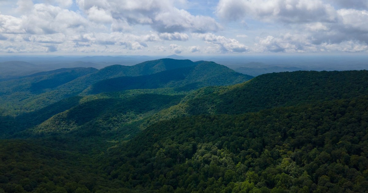
12. The Georgia Blue Ridge Mountains
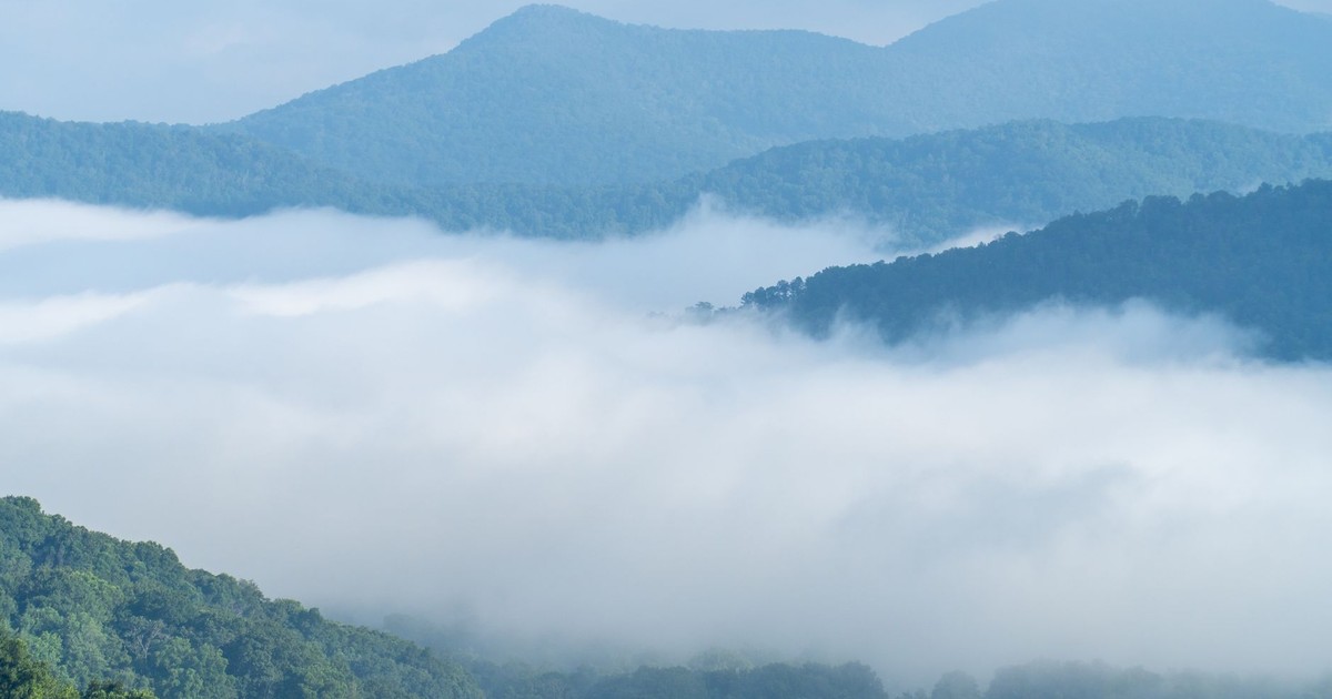
Georgia’s Blue Ridge Mountains deliver water access, arable land, and established agricultural knowledge for survival communities. Image Credit: Alex Akulov / Pexels
The Georgia Blue Ridge Mountains offer a temperate climate combining natural beauty and rugged terrain. Higher elevations shield from flooding, and forest canopy provides natural cover. FEMA’s Risk Index ranks every US county by disaster risk, social vulnerability, and community resilience, and this area rates as relatively safer from natural disasters than much of the rest of the country. The region also supports a well-developed agricultural production base that sustains local food supplies.
Georgia’s Blue Ridge sits at the southern end of the Appalachian chain, which means milder winters than its counterparts in Virginia or West Virginia while retaining most of the same terrain and resource advantages. Towns like Blue Ridge and Ellijay already host a significant population of small farmers, homesteaders, and off-grid households. Apple orchards, cattle operations, and market gardens are common throughout the area.
The distance from Atlanta – roughly 90 miles – is meaningful. Far enough that migration pressure from a major metropolitan area would diminish sharply before reaching the mountains. Close enough that the existing infrastructure of north Georgia, including farm supply stores and medical facilities, remains accessible in early-stage disruptions.
Emergency preparedness supplies like these represent the immediate medical and practical tools necessary before relocating to remote survival locations. Image Credit: Roger Brown / Pexels
None of these locations will save you from a collapse you haven’t prepared for. Research published in Springer’s Discover Global Society proposes that adaptive strategies – fostering local self-sufficiency, building resilient community networks, and embracing uncertainty – are central to survival in a disrupted world. Geography matters, but it is the starting condition, not the complete answer.
A minimum separation of roughly 60 miles from large cities, interstate highway corridors, and nuclear power plants is a widely cited baseline for identifying genuinely defensible rural locations. Use that as a filter when evaluating any of the 12 regions above. Cross it against the availability of arable land for small-scale farming and a stable climate without weather extremes, and you’ll quickly narrow the options to the ones that fit your skills, budget, and family situation. The best places society collapse research points to consistently share three traits: clean water, defensible terrain, and communities that already know how to feed themselves. The US still has plenty of those – the question is whether you’re in one of them, and whether you’ll be ready if the systems you rely on stop working.
Disclaimer: This information is not intended to be a substitute for professional financial advice, investment advice, tax advice, or legal advice, and is provided for informational purposes only. Always seek the guidance of a qualified financial advisor, accountant, or other licensed professional regarding your personal financial situation or investment decisions. Do not make financial, investment, or tax decisions based solely on information presented here. Past performance is not indicative of future results, and all investments carry risk, including the potential loss of principal.
AI Disclaimer: This article was created with the assistance of AI tools and reviewed by a human editor.