These 10 US Cities Are Projected to Become Deserts by 2080
The U.S. desert biome currently covers about 6% of the country’s land. By 2080, that number is projected to nearly double.
That single statistic, drawn from spatial analysis of a peer-reviewed climate model, captures the scale of what’s coming. The desert biome is forecast to expand by 182,000 square miles, growing from 6.0% to 11.9% of U.S. land area – a transformation that reaches deep into cities most Americans would never associate with desert conditions. Sand dunes swallowing skyscrapers isn’t the scenario. The actual shift is ecological: ecosystems losing the rainfall, vegetation, and climate conditions that currently make them livable and green.
The mechanism driving this is cumulative warming and drying rather than any single tipping point. Researchers from the Open Earth Monitor Cyberinfrastructure project used high-resolution data and machine learning to map how natural vegetation zones, or biomes, will shift by 2080 under different climate scenarios, publishing their findings in the peer-reviewed journal PeerJ. Climate Crisis 247 then analyzed the spatial data from that April 2023 paper, identifying cities whose dominant biome type is forecast to change to desert by 2061 – 2080 from the current 1979 – 2013 baseline, ranked by current population, based on the RCP 8.5 scenario – a high-emissions pathway. RCP 8.5, or Representative Concentration Pathway 8.5, refers to a future in which greenhouse gas emissions continue rising at roughly their current rate through the end of the century.
What the data shows is a broad geographic reorganization. The central U.S. will become hotter and drier, with iconic grasslands replaced by more desert-like vegetation – fewer wildflowers, more tumbleweeds. Wet forests throughout the East Coast may give way to drier, more drought-tolerant flora, while the deserts of Arizona, New Mexico, and southern California will expand into Texas and Colorado.
How the Science Works
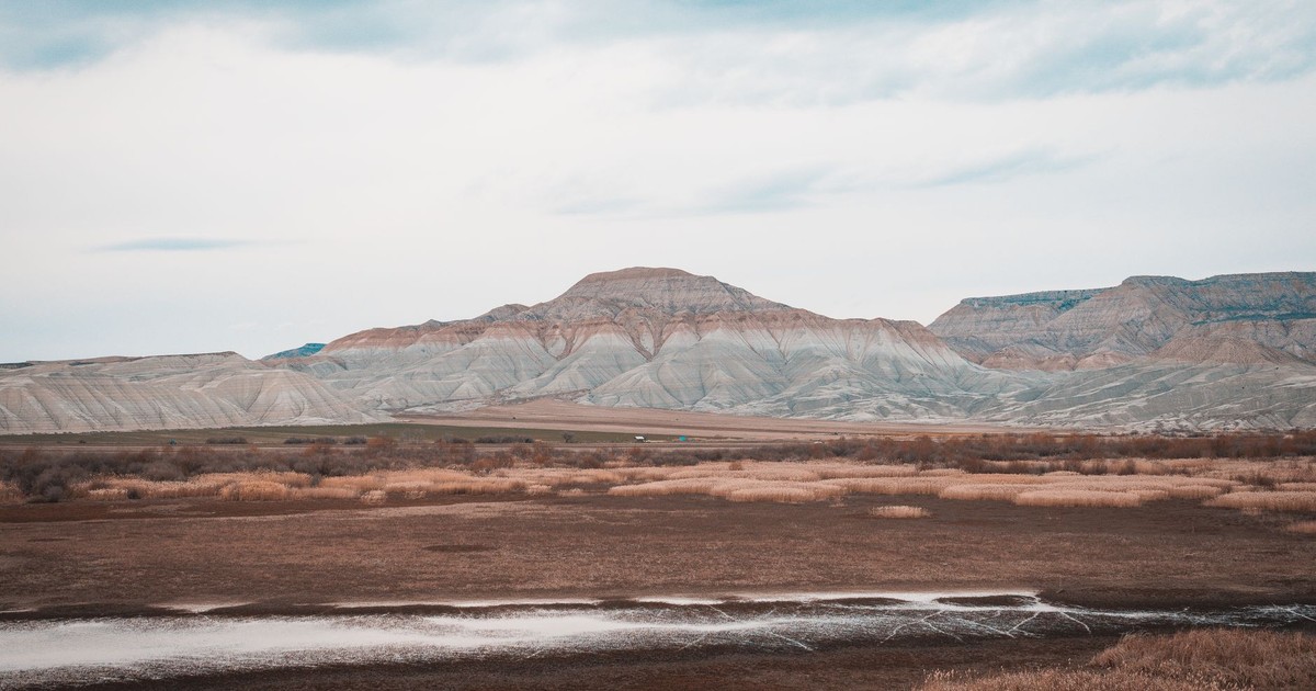
Climate models like this one predict which US cities face the greatest risk of desertification within five decades. Image Credit: Google DeepMind / Pexels
The Open Earth Monitor Cyberinfrastructure project’s model was trained on nearly 9,000 reference points from the BIOME 6000 dataset – a global compilation of paleovegetation data drawn from pollen and plant macrofossil records – and used historical climate averages from 1979 to 2013 as its baseline. Temperature emerged as the dominant driver: temperature-related variables were the most important predictors in the distribution model, outweighing precipitation and other factors.
The central United States will turn warmer and more arid, with the cool mixed forests in states like Minnesota and Wisconsin giving way to the dry, grassy steppe of the Great Plains. Steppe landscapes are forecast to spread the fastest, while evergreen needleleaf forests and temperate deciduous broadleaf forests will contract considerably. Steppe, for those unfamiliar, is the dry grassland biome that dominates much of the interior West today – think eastern Montana, Wyoming, and the Dakotas. Under the high-emissions scenario, that biome migrates east and north while the land it leaves behind transitions to full desert.
US Cities Becoming Deserts: The Full Projected List
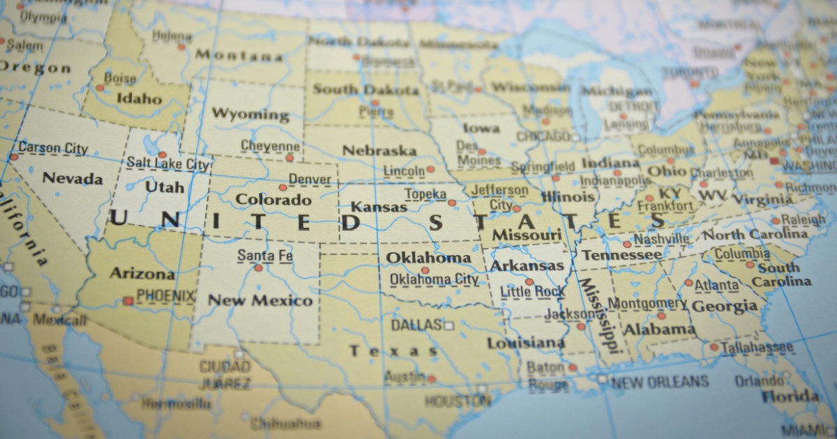
Image Credit: Nothing Ahead / Pexels
Rising temperatures, prolonged droughts, and shifting climate patterns could transform parts of the United States in the decades ahead. Explore the cities projected to face desert-like conditions by 2080 and discover how their landscapes may change.
1. Los Angeles, California
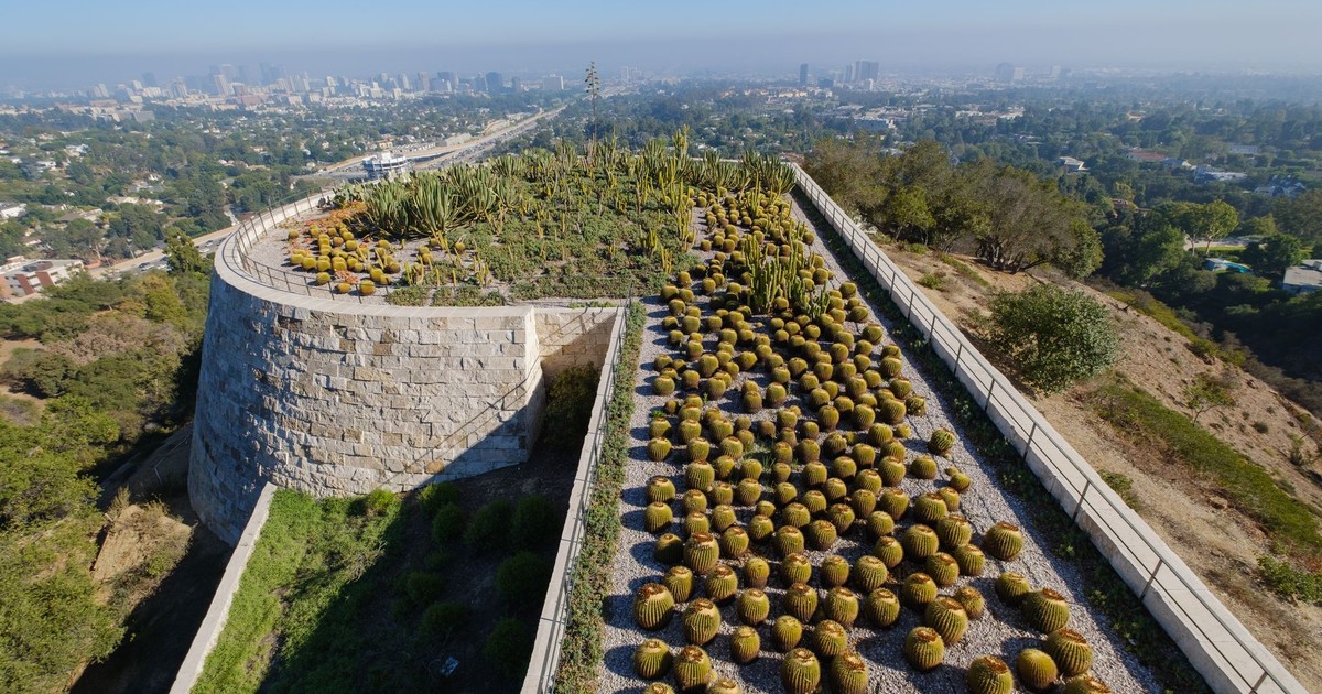
Los Angeles’s existing cacti gardens preview the arid landscape scientists project this megacity will increasingly resemble. Image Credit: Rachael Porter / Pexels
Los Angeles might seem like an easy call – it’s already dry, warm, and surrounded by fire-prone chaparral. But the projection isn’t simply that LA gets hotter. The biome analysis suggests the entire surrounding ecosystem transitions from Mediterranean shrubland to full desert classification by 2061 – 2080. As the climate warms, forests and woodlands in parts of the western U.S. could gradually give way to shrublands, grasslands, and deserts.
Desert-like conditions could place greater strain on water resources, increase wildfire risk, reduce agricultural productivity, and alter local biodiversity. Cities may also see higher demand for electricity and water as hotter, longer summers become more common. For LA, which already imports the majority of its water from distant sources including the Colorado River and the Owens Valley, a full desert biome shift would intensify an already stressed system – one where the surrounding region no longer holds the moisture it once did.
2. San Antonio, Texas
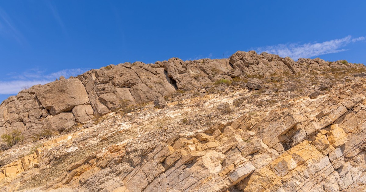
San Antonio’s rocky terrain foreshadows the desert conditions threatening this major Texas city’s water supply and habitability. Image Credit: Mohan Nannapaneni / Pexels
Texas appears repeatedly in the biome projections, and San Antonio sits at a particularly vulnerable intersection. The city currently occupies the edge of the Edwards Plateau, a landscape of juniper and oak woodland that shades into drier terrain to the west. Under the high-emissions scenario, that western desert creeps eastward – consistent with the broader finding that the deserts of Arizona, New Mexico, and southern California will expand into Texas and Colorado.
San Antonio draws most of its water from the Edwards Aquifer, one of the most productive underground water sources in the country but also one that has shown declining recharge rates during drought years. A shift to desert biome conditions would mean less rainfall feeding that aquifer, higher evaporation, and longer dry seasons – all converging on a city whose population has nearly doubled in the past 25 years and continues to grow.
3. El Paso, Texas
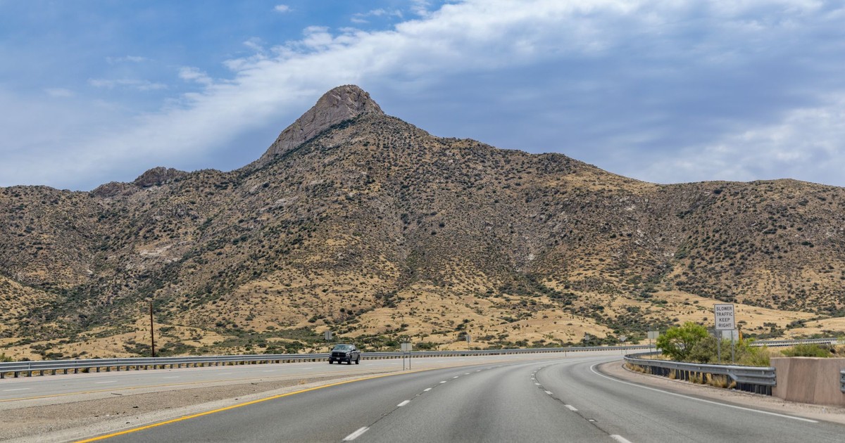
El Paso’s desert highway represents the extreme aridity that could define this city’s future climate reality. Image Credit: Mohan Nannapaneni / Pexels
El Paso occupies a geography that is already semi-arid, sitting at the edge of the Chihuahuan Desert – the largest desert in North America. The biome forecast places it squarely in the path of desert expansion, with a full desert classification expected to encompass the region by 2080. The PeerJ study projects that as the climate warms, forests and woodlands in parts of the western U.S. could gradually give way to shrublands, grasslands, and deserts, with ecosystems expected to shift northward and to higher elevations as temperatures rise and water becomes scarcer.
El Paso shares the Rio Grande with Ciudad Juárez across the border in Mexico, and both cities depend on a river that climate models have consistently projected to carry less water by mid-century. Reduced snowpack in the Rocky Mountains – the river’s primary source – translates directly into less flow reaching the communities downstream. The city has invested heavily in water recycling and conservation, but a full biome-class transition means those investments need to scale faster than current infrastructure plans anticipate.
4. Tucson, Arizona
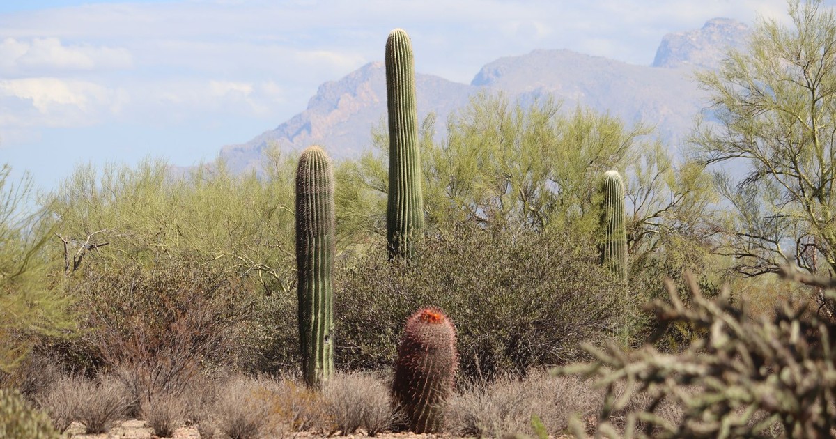
Tucson’s saguaro cacti exemplify the natural desert ecosystem that may replace this city’s current semi-arid environment. Image Credit: Lindsey Willard / Pexels
Tucson is already classified within the Sonoran Desert biome, but the projection here isn’t just confirming what’s already dry – it’s about intensification. The Sonoran Desert’s boundary is expected to expand and the ecological character of the region to shift toward conditions more typical of the Saharan or Arabian deserts: hotter baseline temperatures, more extended dry periods, and vegetation adapted to increasingly extreme aridity.
The city has been a national leader in desert-adapted water policy for decades, with tiered pricing, reclaimed water infrastructure, and strict outdoor watering restrictions. The PeerJ study makes clear that the projections are based on a high-emissions future rather than a guaranteed outcome, and that aggressive efforts to curb greenhouse gas emissions could limit the extent of these ecological shifts significantly.
5. Las Vegas, Nevada
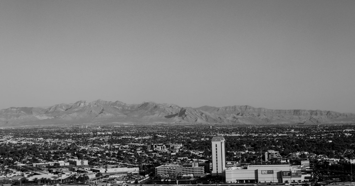
Las Vegas’s sprawling development across desert terrain illustrates the vulnerability of this water-dependent city to climate change. Image Credit: Gela delrose / Pexels
Las Vegas has functioned as a cautionary tale about desert urban sprawl for decades, and the biome projections don’t offer any softening of that narrative. The city already sits in the Mojave Desert, and its primary water source – Lake Mead – has spent much of the past decade at record-low levels. The Southern Nevada Water Authority has implemented some of the most aggressive conservation programs in the country, but the biome data suggests the region’s underlying ecological conditions will worsen considerably by 2080.
The broader concern is what happens to agricultural zones surrounding the metropolitan area and to the Colorado River Compact states that depend on the same water system. As desertification spreads, some of America’s largest cities could become unlivable. Las Vegas, already at the edge of what current infrastructure can support, represents the most acute version of that risk.
6. Denver, Colorado
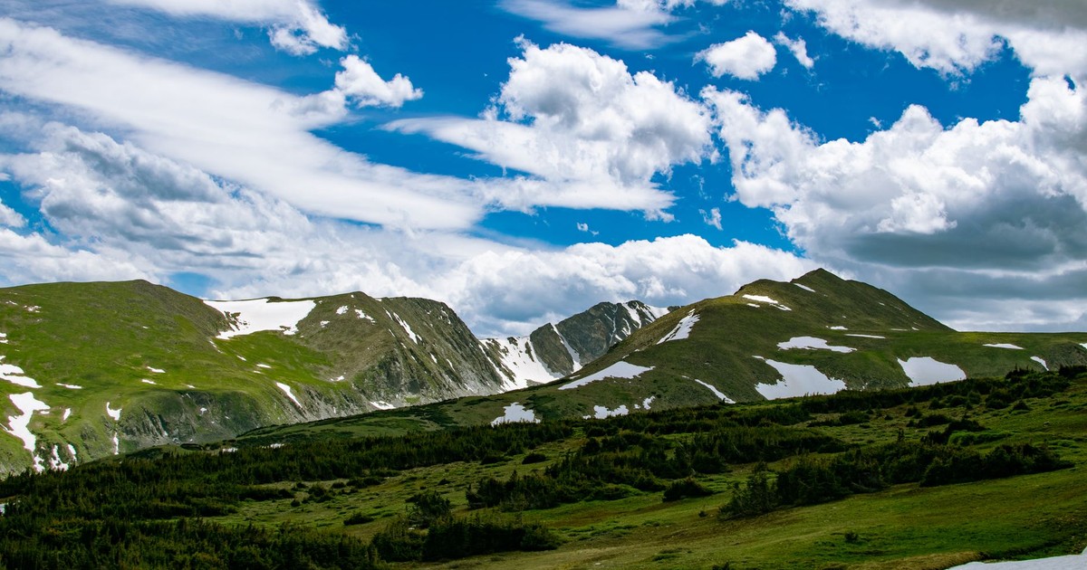
Denver’s mountain backdrop masks the altitude advantage that offers this city slightly better resilience than lower desert cities. Image Credit: Travis Saylor / Pexels
Denver may be the most surprising city on this list for residents outside the Mountain West. Colorado’s Front Range is green by Rocky Mountain standards – it receives respectable winter snowfall, supports lush riparian corridors, and lies at the foot of peaks that catch significant moisture from Pacific storm systems. None of that insulates it from the biome projections.
Under the RCP 8.5 high-emissions scenario, the desert zone expected to expand from the southwest pushes into Colorado, and Denver’s surrounding landscape – already transitioning from shortgrass prairie to more xeric conditions – tips into full desert biome classification. Colorado Springs, about 65 miles to the south, faces even more direct exposure. According to Colorado State University, roughly 60 – 80% of annual streamflow in Colorado’s major river basins originates as snowmelt – the mountain snowpack that is already shrinking measurably year by year. Less snow means less water for every city on Colorado’s eastern slope, including Denver.
7. Reno, Nevada
Reno’s vast grasslands will face severe transformation as regional precipitation patterns shift dramatically over coming decades. Image Credit: Anthony Brown / Pexels
Many of the country’s most populous metro areas – including Reno, Los Angeles, and Seattle – will completely transition to new biome types by century’s end. Evergreen forests will turn to steppe, while steppe will turn to desert. Reno sits at the western edge of the Great Basin, a cold desert that already dominates much of Nevada and Utah. The biome shift projected for Reno isn’t a dramatic departure from its current conditions – it’s an acceleration and intensification of what’s already underway.
The Truckee River, which flows through downtown Reno from Lake Tahoe, is a critical lifeline. Reduced Sierra Nevada snowpack – already measurably declining – will mean less late-season flow in the Truckee, compressing the window during which the river can support the urban water system and downstream agriculture in the Lahontan Valley. For Reno, the biome projection isn’t a future scenario – it’s an extrapolation of trends residents are already living through.
8. Albuquerque, New Mexico
Albuquerque’s adobe architecture reflects a region already adapted to aridity, yet facing intensified desertification pressures ahead. Image Credit: Casa de Spider / Pexels
Albuquerque currently straddles the boundary between semi-arid steppe and desert. The Rio Grande runs through its center, but the river’s flows have declined significantly over the past several decades, and New Mexico has experienced some of its most severe drought conditions on record in recent years. The biome projections push Albuquerque’s classification fully into desert territory by 2080 under the high-emissions pathway.
The implications for agriculture in the Middle Rio Grande Valley are significant. The region has sustained farming communities for centuries, with acequia systems – communal irrigation networks built by Spanish settlers and maintained by their descendants – still delivering water to fields along the river. A full desert biome transition would put those systems under pressure from multiple directions: less snowmelt feeding the river, higher evaporation from soils, and longer periods without meaningful rainfall.
9. Billings, Montana
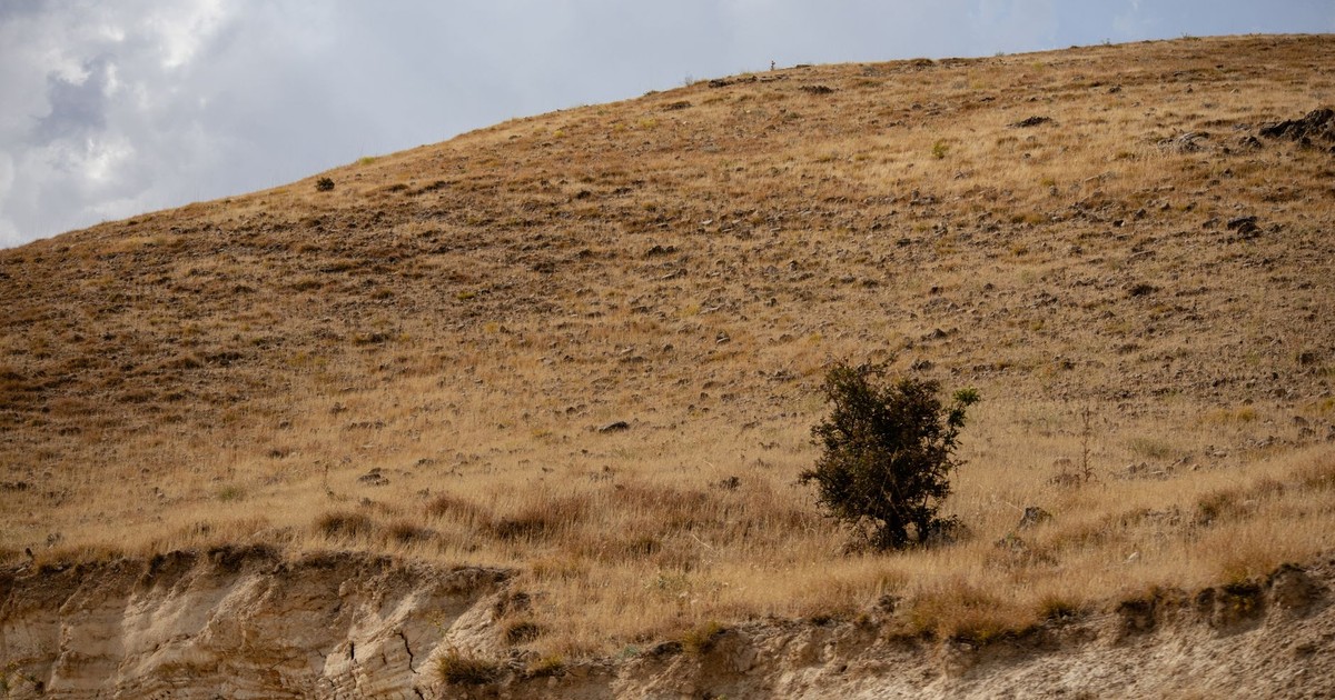
Billings’s dry hillside demonstrates how northern cities once considered safe now face unexpected desertification threats. Image Credit: Zülfü Demir📸 / Pexels
Billings, the largest city in Montana, sits in a region most people associate with cool summers, mountain snowpack, and wide open rangeland. The biome analysis reaches well into the northern plains regardless. Climate Crisis 247’s analysis of the PeerJ data projects that by 2080, Billings will be 36.1% drier than it is now, with the surrounding landscape – currently classified as steppe – shifting into full desert biome classification by the 2061 – 2080 window.
Billings serves as the economic hub for a vast agricultural region. Winter wheat, sugar beets, and cattle ranching define the regional economy – all of which are highly sensitive to changes in precipitation timing and growing season temperatures. A 36% reduction in moisture is the difference between a functional dryland farming economy and one that no longer produces what it currently grows.
10. Boise, Idaho
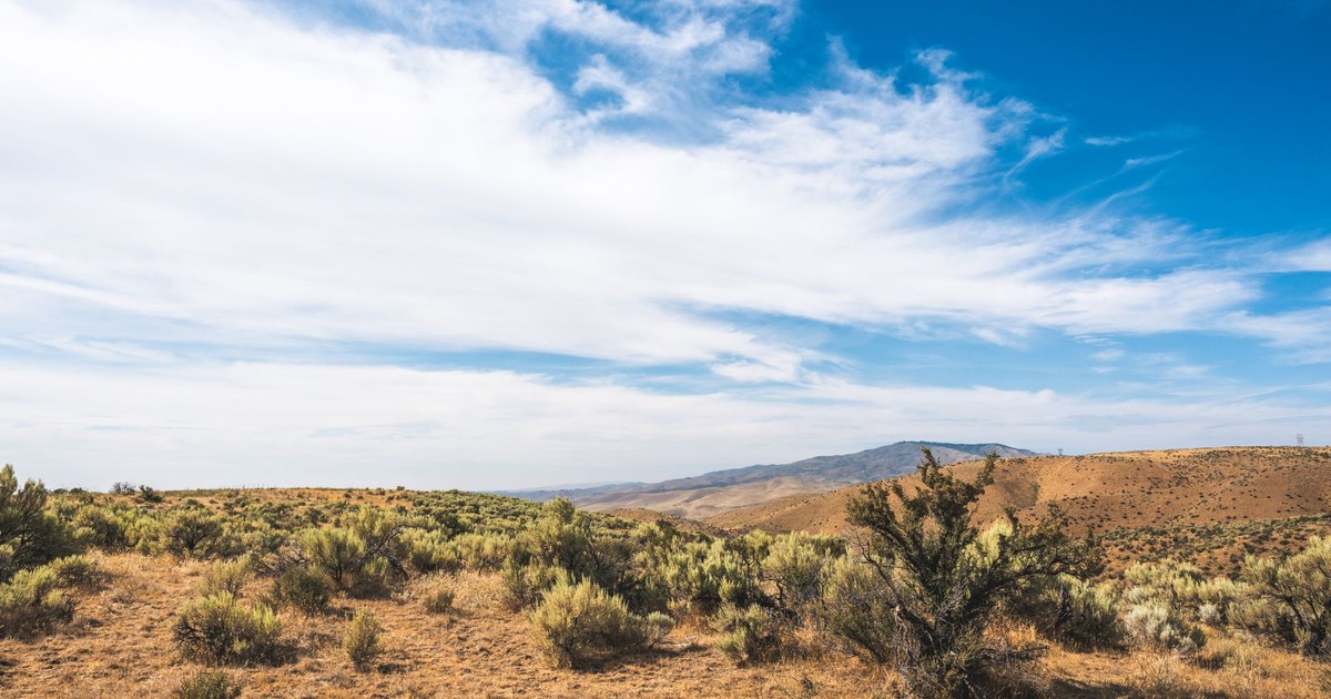
Boise’s sagebrush landscape captures the delicate ecosystem this Idaho city risks losing to advancing drought conditions. Image Credit: Brett Sayles / Pexels
Boise sits in the high desert of southwestern Idaho, where the Snake River Plain provides irrigation water to one of the most productive agricultural zones in the Pacific Northwest. The city has grown rapidly over the past decade, and that growth has accelerated pressure on water resources even before factoring in climate-driven biome change.
The biome projection moves Boise from its current semi-arid classification into full desert by 2080. Desert-like conditions could place greater strain on water resources, increase wildfire risk, reduce agricultural productivity, and alter local biodiversity. For Boise and the broader Snake River Plain, wildfire is already a pressing reality – the sagebrush steppe surrounding the city burns with increasing frequency, and a full desert biome transition would lengthen fire seasons and expand the areas of highest risk. The city’s growth plans, infrastructure investments, and water rights allocations are all built around a climate baseline that may not hold.
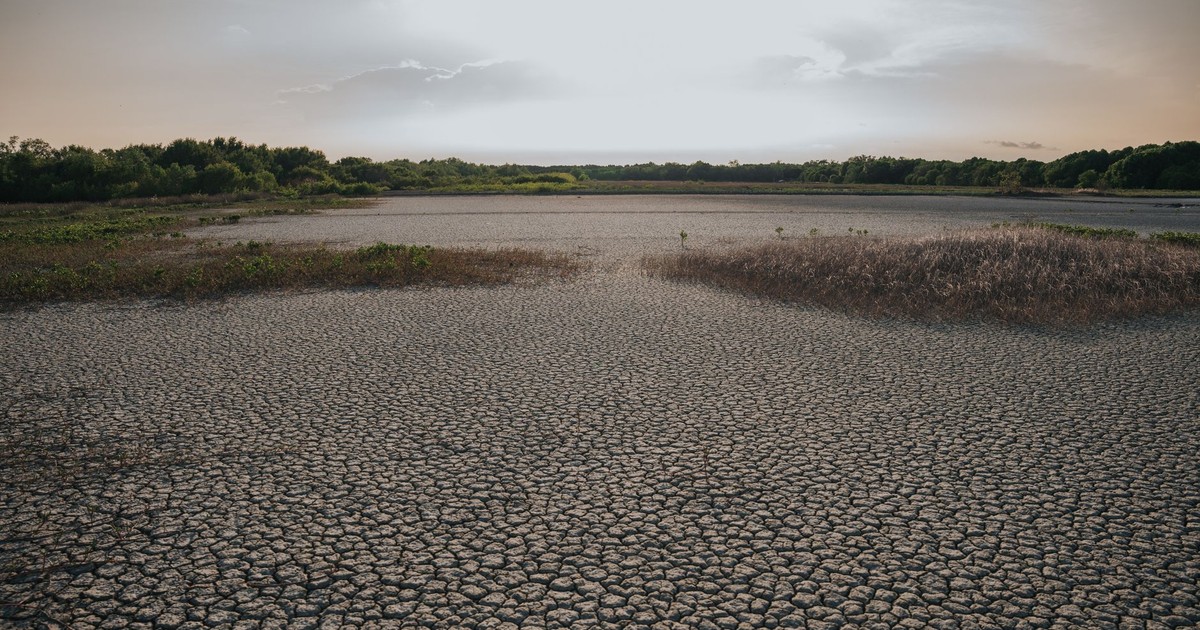
Cracked earth like this visualizes the catastrophic water scarcity and urban collapse that scientists warn these ten cities face. Image Credit: Long Bà Mùi / Pexels
Dozens of American cities are on track to shift into full desert biomes within the next half-century, reshaping the land, vegetation, and habitability of entire communities. For residents of the cities named above, the practical implications arrive well before 2080. Water rate increases, tighter outdoor watering restrictions, longer and more intense wildfire seasons, and heat waves that exceed current infrastructure design tolerances are the near-term precursors of a full biome transition. The desert doesn’t arrive overnight.
The projections are based on a high-emissions future rather than a guaranteed outcome. The model uses RCP 8.5, which assumes emissions continue on their current trajectory without significant policy intervention. Scenarios involving aggressive emissions reductions – like RCP 4.5 or RCP 2.6 – produce meaningfully different biome maps, with far fewer cities crossing into desert classification. The gap between those futures is still open. For anyone living in the cities on this list, the most concrete action is to understand your local water supply, engage with municipal conservation programs, and pay attention to long-term infrastructure planning – because the decisions being made in city halls today are the ones that will determine how prepared those communities are when the climate the model predicts arrives.
AI Disclaimer: This article was created with the assistance of AI tools and reviewed by a human editor.