
Pacific Northwest – USA’s Highest Tsunami Danger Risk Zone
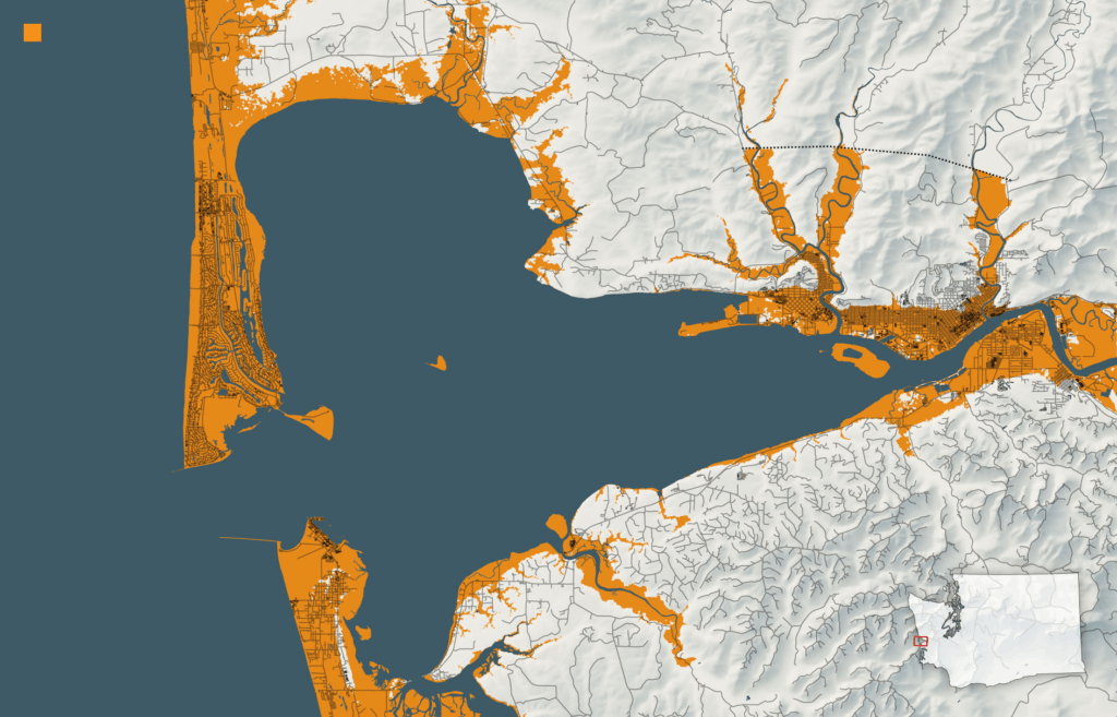
Washington, Oregon, and Northern California sit directly above a 700-mile underwater fault line called the Cascadia Subduction Zone. The last time this geological giant released its power was January 26, 1700, creating waves so overwhelming big they crossed the entire Pacific Ocean and hit coastal Japan. Scientists believe there’s a 10 – 14% chance of another magnitude 9.0+ earthquake happening within the next 50 years. These waves could reach between 30 to 100 feet high, obliterating everything in their path. When these powerful earthquakes cause coastal land to suddenly drop several feet, the disastrous flooding becomes much worse of a problem, leaving communities trapped below sea level.